Put-in
WA
Salmon La Sac Campground Parking
Save this feature with the run it belongs to.
Gauge Conditions
Runnable: ? – ? CFS
Approximate - nearest available gauge. Use as general reference only.
Data from American Whitewater & USGS
Description
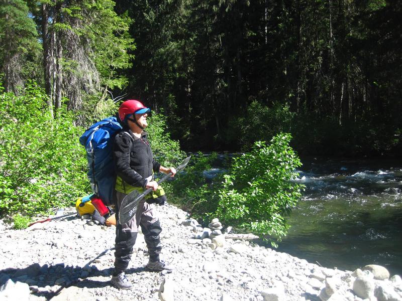
The trip starts and ends at the Salmon La Sac Campground's day use area adjacent to the river and on the upstream river right side of the Salmon La Sac Bridge. This is the point you drive to where you take out on the Cle Elum River. From this point start your hike a short distance up the road to the trailhead and then continue on the Waptus Lake Trail.
Location
Interactive river map
Loads as you approach this section.
Other Rapids on This Run (2)
View Full Run
Waptus Lake trail to Salmon La Sac
Waptus
II-III+(IV)
2.2 mi
Current Conditions
5-Day Forecast
Whitewater data from
American Whitewater
American Whitewater