Second Falls
Save this feature with the run it belongs to.
No sufficiently local live gauge linked. 1 automated match was excluded because locality could not be verified. Use the parent run and local sources before making a trip decision.
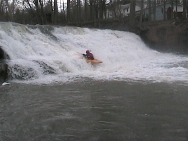
Photo
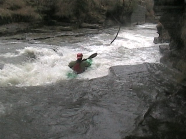
Photo courtesy of American Whitewater
Description
Another old dam. We walked this one because it required a boof of about 10 ft. onto wet rock. With more water it could be doable. Walk's probably easier on the right at low levels, but above 200 cfs. it gets sketchy and the left becomes a better alternative. It's followed by a long low angle runout (see picture).
Location
Interactive river map
Loads as you approach this section.
Other Rapids on This Run (5)
View Full Run
Rt 79 to Brooktondale
Sixmile Creek
IV-V
5.1 mi
Current Conditions
5-Day Forecast
Whitewater data from
American Whitewater
American Whitewater