Rapid
MN
Second Marked Rapids
Save this feature with the run it belongs to.
Gauge Conditions
Runnable: ? – ? CFS
Approximate - nearest available gauge. Use as general reference only.
Data from American Whitewater & USGS
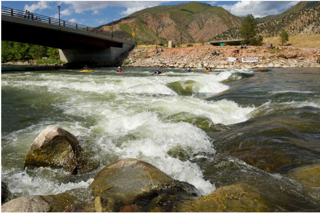
Photo
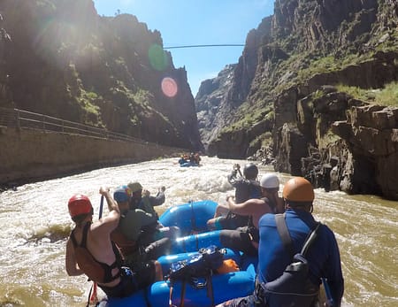
Photo courtesy of American Whitewater
Description
The prior rapids ends in a brief pool. After the river takes a bend to the right, it narrows and a second rapids is marked on the topo maps. No rocks or features are evident on aerial maps, so it is likely this is gradient with compression waves. (Likely class I-II.)
Location
Interactive river map
Loads as you approach this section.


View Full Run
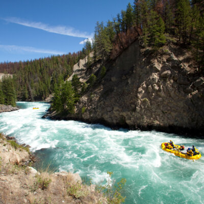
Echo Lake to Crane Lake (10 miles)
Echo
II-III
9.9 mi
Current Conditions
5-Day Forecast
Whitewater data from
American Whitewater
American Whitewater