How's Your
River
×
Explore
Explore Map
Water Bodies
Gauges
Access Sites
Tidal Stations
Whitewater
Pricing
Login
Sign Up
Hazard Warning:
Hazard information may be user-submitted and unverified. Conditions change frequently. Always scout rapids and obstacles yourself.
Whitewater
Kentucky
Fugitt Creek - Hwy 179 (2 miles)
Slid In
Rapid
KY
Class III
Slid In
Fugitt Creek - Hwy 179 (2 miles) (KY)
Monitor this Rapid
Water Body
This Run
Map
Other Rapids
Gauge
Weather
Directions
Gauge Conditions
Cumberland River near Harlan, KY
Downstream
Primary
Runnable: 5,000.0 – 10,000.0 CFS
Poor Fork at Cumberland, KY
Upstream
Primary
Runnable: 600.0 – 3,000.0 CFS
Data from
American Whitewater
&
USGS
Photo
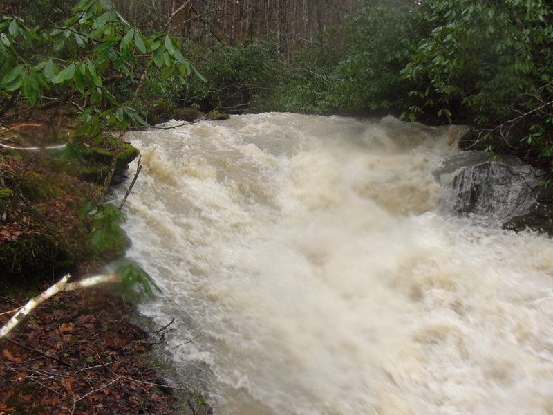
Photo courtesy of
American Whitewater
Description
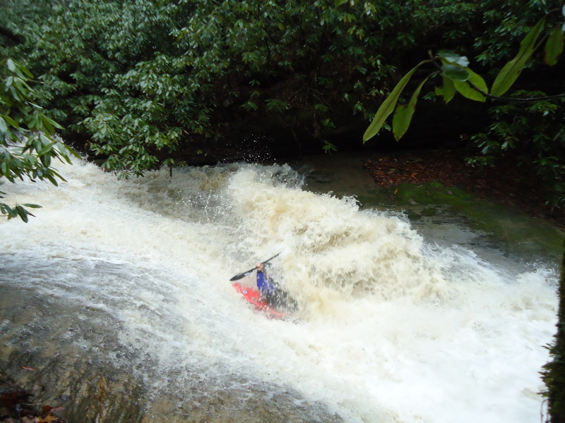
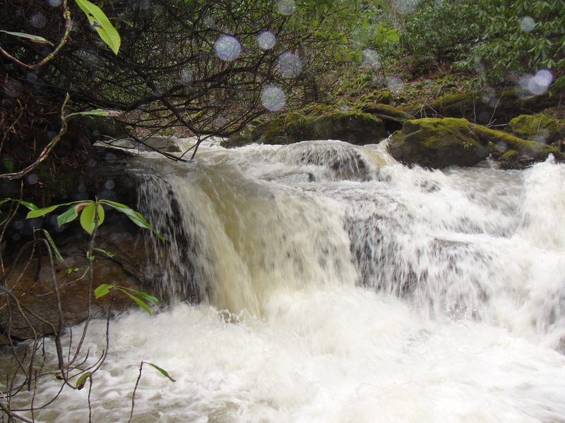
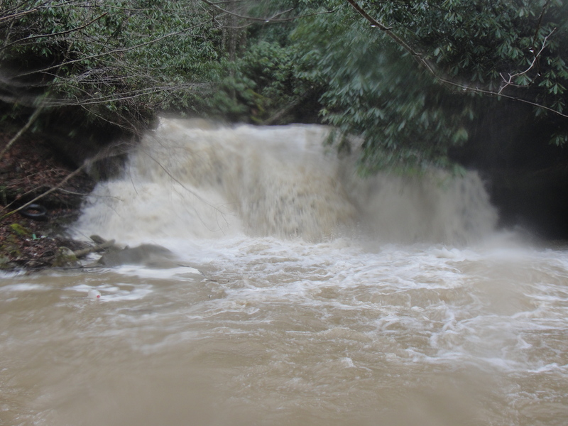
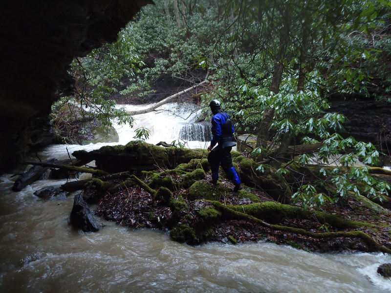
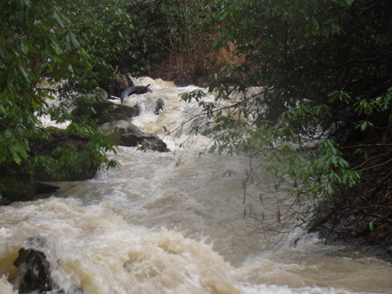
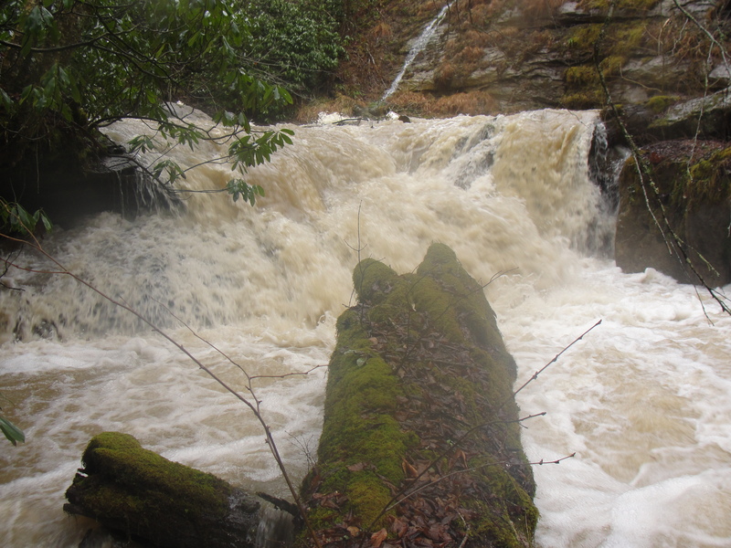
A large slide with a frothy line down the middle.
Location
Radar
Counties
Cell
Verizon
AT&T
T-Mobile
Dark
Satellite
Terrain
Other Rapids on This Run (8)
Waterfall
IV
Get Pitted
0.0 mi
Waterfall
III+
Come on Down
0.2 mi
Waterfall
IV
Hold Your Breath
0.4 mi
Waterfall
V
Shimmy
0.5 mi
Waterfall
V
Cliffs of Despair
0.7 mi
Hazard
N/A
In Her Tube
0.8 mi
Waterfall
III+
Brown Trout
1.0 mi
Hazard
III
Mile O' Smiles
1.1 mi
Type
Rapid
Difficulty
Class III
Mile Marker
0.9 mi
Directions
Navigate
View Full Run
Hwy 179 (2 miles)
Fugitt Creek
IV-V(V+)
2.4 mi
Current Conditions
5-Day Forecast
Whitewater data from
American Whitewater
Slid In