Rapid
VA
Smith Bridge access
Save this feature with the run it belongs to.
Gauge Conditions
Data from American Whitewater & USGS
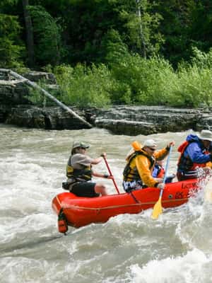
Photo
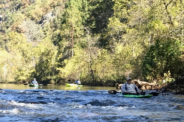
Photo courtesy of American Whitewater
Description
River left, downstream of the bridge and the accessible platform. USGS gauge on river right. Ample parking. Jackson River Trail nearby.
Location
Interactive river map
Loads as you approach this section.


View Full Run
4. Gathright Dam to Covington
Jackson
I-II
17.0 mi
Current Conditions
5-Day Forecast
Whitewater data from
American Whitewater
American Whitewater