Put-in
PA
South Fork Access
Save this feature with the run it belongs to.
Gauge Conditions
Runnable: 10.0 – 12.2 FT
Honestly, it depends on the way the rain falls. To drop in from Lilly you have to make sure the water under the bridge in Cassandra is runable. If it is, it's
Data from American Whitewater & USGS
Photo
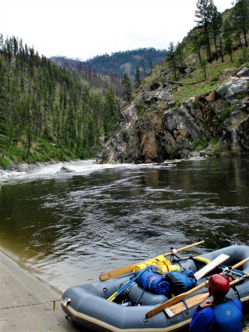
Photo courtesy of American Whitewater
Description
The South Fork Access rapid on the Little Conemaugh River presents a potentially complex section with varied water conditions and potential hazards from remnant mining infrastructure. Paddlers should be prepared for potential debris, submerged obstacles, and rapidly changing water levels typical of this historically industrial river corridor. Local knowledge and careful scouting are recommended due to the unpredictable nature of the riverbed and potential hydraulic challenges.
Location
Interactive river map
Loads as you approach this section.
Other Rapids on This Run (5)

View Full Run
Lilly to South Fork
Little Conemaugh (North)
I-III
14.0 mi
Current Conditions
5-Day Forecast
Whitewater data from
American Whitewater
American Whitewater