Spring Camp Falls
Save this feature with the run it belongs to.
Gauge Conditions
Runnable: 300.0 – 1,000.0 CFS
Likely under 100 cfs. Almost certainly too low for reasonable whitewater. Please help fellow boaters with comment or report about gauge and runnability.
Data from American Whitewater & USGS
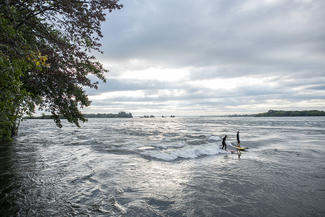
Photo
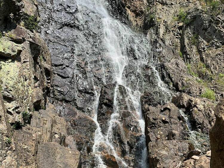
Photo courtesy of American Whitewater
Description
Drainage area at this falls is something near 38 square miles. This is slightly larger than (U.P.) Silver (34.5 sqmi at its gauge at Skanee Road) and Yellow Dog (31.8 sqmi at gauge at Upper put-in). (Those gauges are much too distant to presume to use them in to approximate flows here, of course, but the mention is solely to give relative drainage area and possible flow/size perspective.)
A blog with photos of this falls (and surrounds) is available at The Cookery Maven.
Location
Interactive river map
Loads as you approach this section.
Other Rapids on This Run (12)
 Rapid
N/A
Rapid
N/A
Put In
 Rapid
N/A
Rapid
N/A
Put in
Rapid
N/A
Minor rapids #1 ?
 Rapid
N/A
Rapid
N/A
Rock Cut Falls Gorge
 Rapid
N/A
Rapid
N/A
Minor Rapids #2 ?
Rapid
N/A
Minor rapids #3 ?
 Rapid
N/A
Rapid
N/A
Second notable rapid
 Rapid
N/A
Rapid
N/A
Runout Rapids
Rapid
N/A
Minor rapids #4 ?
Rapid
N/A
W.Branch Road
 Rapid
N/A
Rapid
N/A
Maple Sap Falls/Takeout
 Rapid
N/A
Rapid
N/A
Take Out
View Full Run
South Drive to Kimball Town Park
Montreal, W.Fk.
II-III(IV)
3.7 mi
Current Conditions
5-Day Forecast
Whitewater data from
American Whitewater
American Whitewater