Put-in
OR
Steamboat Falls Put In
Save this feature with the run it belongs to.
Gauge Conditions
Data from American Whitewater & USGS
Photo
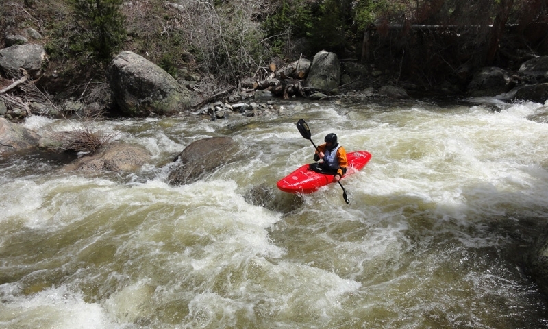
Photo courtesy of American Whitewater
Description
Steamboat Falls Put In marks the start of a challenging whitewater section with a steep gradient and potential technical maneuvers around rock formations. Paddlers should be prepared for potentially tight lines and limited scouting opportunities, with careful attention required to navigate the initial entry point and subsequent rapids leading toward Canton Creek Campground.
Location
Interactive river map
Loads as you approach this section.
Other Rapids on This Run (3)

View Full Run
Steamboat Falls to Canton Creek Campground
Steamboat Creek
IV
5.8 mi
Current Conditions
5-Day Forecast
Whitewater data from
American Whitewater
American Whitewater