Playspot
MI
Stony Creek Confluence
Save this feature with the run it belongs to.
Gauge Conditions
Runnable: 200.0 – 2,000.0 CFS
Likely low/scrapey flow. We need your input! Please add comment or report about best flows here!
Data from American Whitewater & USGS
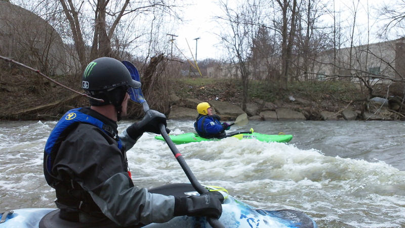
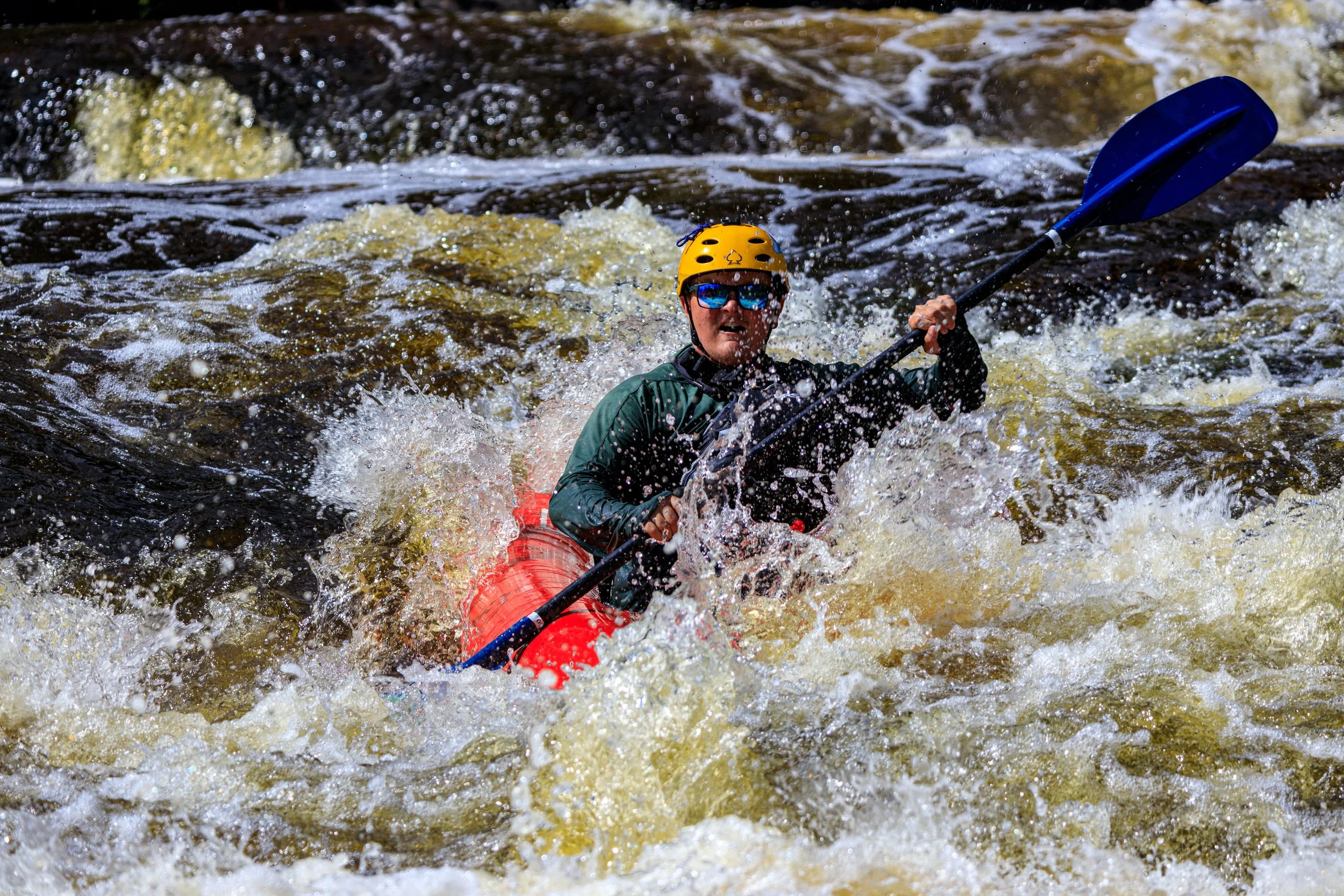
Photo
Photo courtesy of American Whitewater
Description
At the confluence of Stony Creek and the Clinton River, paddlers encounter a transitional water zone with potential for technical maneuvering around merged currents and potential debris. While details are limited, this section likely presents localized turbulence and potential navigation challenges requiring attentive route selection and awareness of changing water dynamics.
Location
Other Rapids on This Run (4)
View Full Run
W. Avon Road (at Livernois) to E. Avon Road (Yates Dam) (5 miles)
Clinton
I(II)
4.7 mi
Current Conditions
5-Day Forecast
Whitewater data from
American Whitewater
American Whitewater