Gauge Conditions
Photo
Description
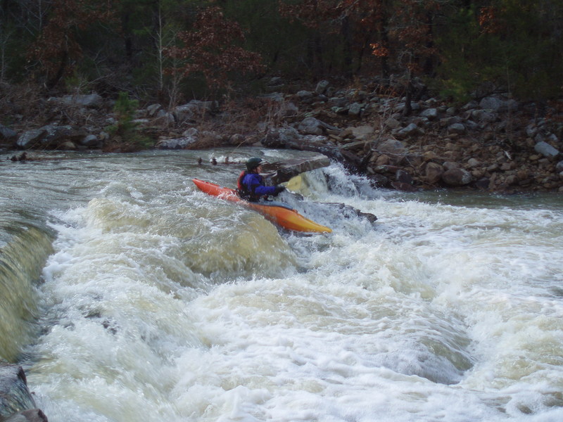
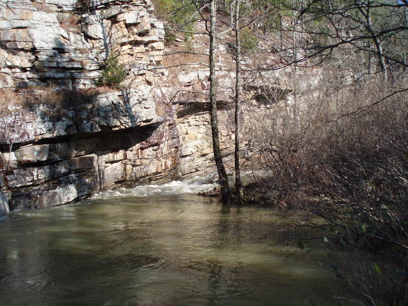
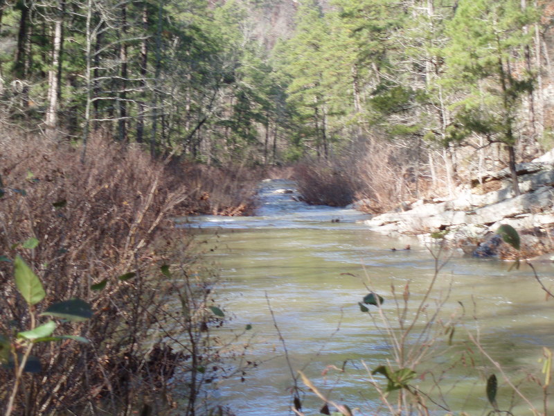
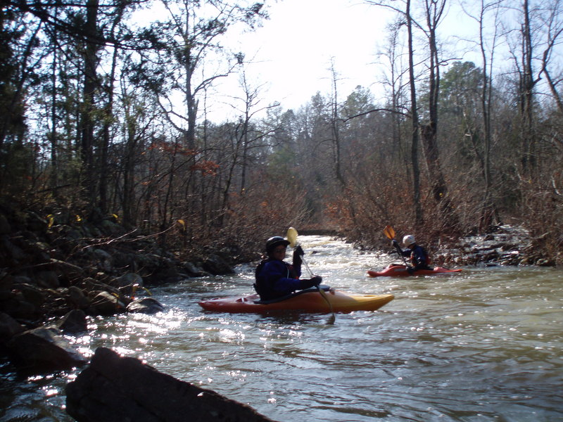
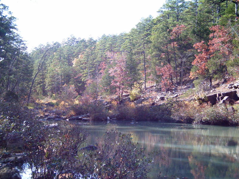
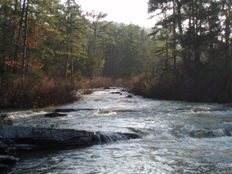
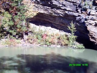
Sugar Falls is located between the low water bridge at Knopper's Ford and the Take-out at Jack Creek Recreation Area. Approaching to the falls Sugar creek follows a backward C shape course. This approach can be recognized by a slab of rock extending into the creeks path that has a barb wire running across it. The initial part of this course is through rocks and willow jungles. The second part consists a few small ledges. At most levels, there are eddies on river right from which Sugar Falls can be scouted. At higher flows, most people boof off the thumb/finger projection of the ledge on the river left side of the level. At lower flows, there is a tongue that can be run just right of the finger proection (see AW photo 39920). There is a huge pool immediately below the falls. If yu carry up along the river right bank to re-run the falls watch out for the remains of a barb wire fence.
Location
Current Conditions
5-Day Forecast
American Whitewater