Sycolin Road Put In
Save this feature with the run it belongs to.
Gauge Conditions
Photo

Description
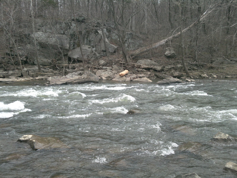
THIS IS THE FIRST PUT-IN; SYCOLIN CREEK PUT-IN IS 2.6 MILES DOWNSTREAM: This put-in is on river left downstream from the bridge (SR 643). Park on gravel just off road, drag boats down through grass (go right of fence) to small inlet 50 yards to the backed-up creek. Turn left down the reservoir upon exiting, pass under Dulles/Leesburg toll road (SR 267) – in 1.4 miles land on right 100 yds above the
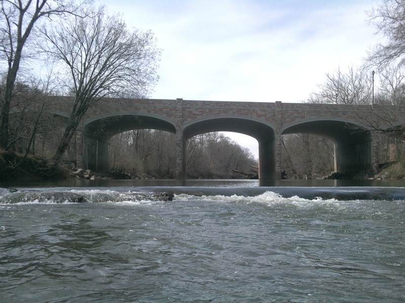
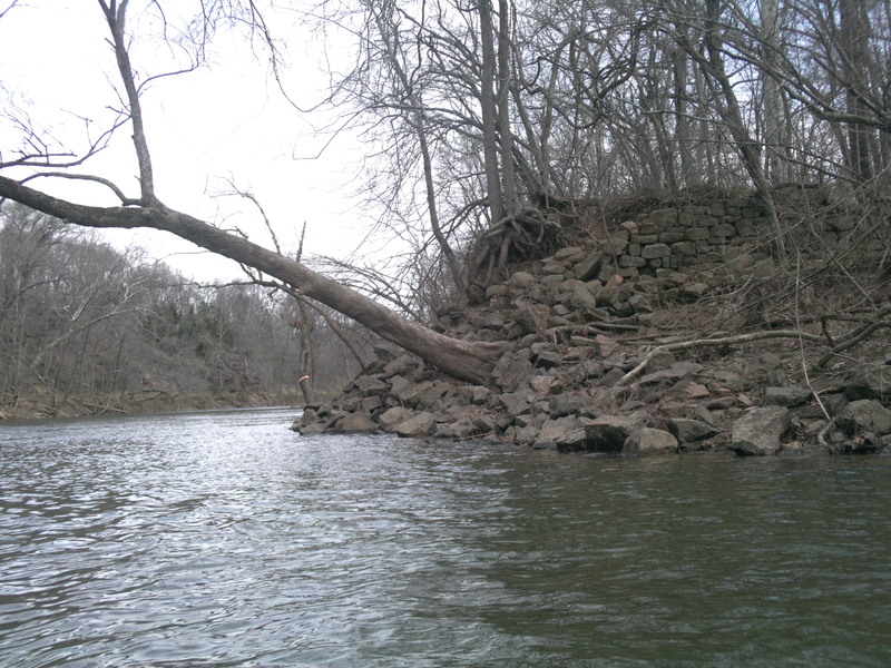
Fairfax Dam. Carry around and lower boats 20 feet down steep gravel path to the creek below. A length of rope is helpful. 1.2 miles down three mild rock-gardens (some were milldams), pass under high Washington and Old Dominion Bike Trail bridge. Sycolin Creek enters from left right thereafter....
Location
Other Rapids on This Run (8)


Current Conditions
5-Day Forecast
American Whitewater