Take-out
VA
Take Out
Potomac, South Branch - 0. Confluence of Straight Creek to VA/Wv state line (VA)
Gauge Conditions
Data from American Whitewater & USGS
Photo
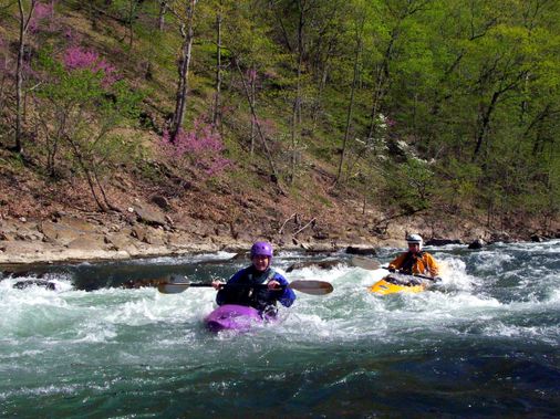
Photo courtesy of American Whitewater
Description
Take Out rapid marks the final stretch before the state line, characterized by a broad, shallow boulder field that demands precise maneuvering and constant route-finding. Paddlers should expect numerous exposed and submerged rocks creating tight channels, with limited clean lines through the technical descent that requires quick boat placement and strong eddy-hopping skills.
Location
Other Rapids on This Run (1)

View Full Run
0. Confluence of Straight Creek to VA/Wv state line
Potomac, South Branch
I-II
1.0 mi
Current Conditions
5-Day Forecast
Whitewater data from
American Whitewater
American Whitewater