Gauge Conditions
Data from American Whitewater & USGS
CDEC Flow Data California
Data from California Data Exchange Center (CDEC)
Photo
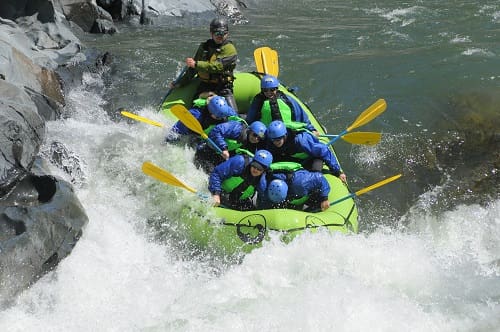
Photo courtesy of American Whitewater
Description
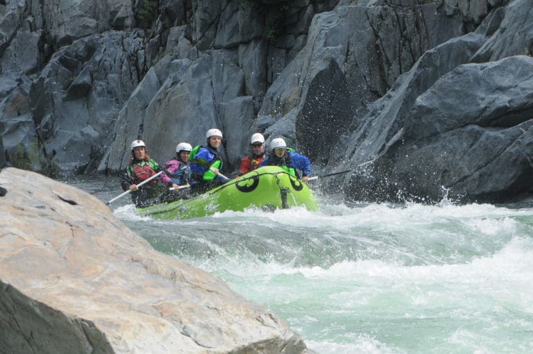
Take Out rapid marks the conclusion of the North Fork American River run at Tadpole Creek, serving as a transition point for boaters exiting the river. While specific technical details are limited, paddlers should be aware of potential takeout logistics, such as potential terrain challenges or shuttle considerations at this terminus point.
Location
Other Rapids on This Run (1)
View Full Run
0. Soda Springs Road to Tadpole Creek
American, North Fork
V+
14.6 mi
Current Conditions
5-Day Forecast
Whitewater data from
American Whitewater
American Whitewater