Take-out
CO
Take Out
Save this feature with the run it belongs to.
Gauge Conditions
Runnable: 200.0 – 3,000.0 CFS
Flow range for best boatability uncertain. Please help your fellow boaters with a comment or report.
Data from American Whitewater & USGS
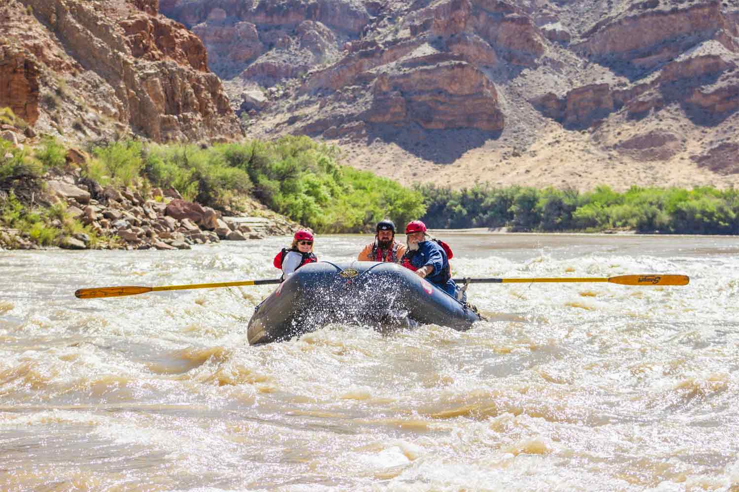
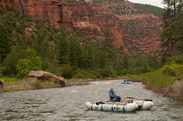
Photo

Photo courtesy of American Whitewater
Description
The location shown for the end of this reach is actually at the San Juan National Forest sign on Highway 145, not at Big Rock, which is about 4.8 miles downstream from the point shown (see 02. West Fork to Dolores).
There is no take-out at the West Fork, only a put-in which is on the West Fork about 0.17 mile upstream from the confluence. Thus, reaches 01 and 02 (beginning at the West Fork) actually overlap by several miles.
Location
View Full Run
01. Rico to Big Rock (West Fork)
Dolores
II-III
27.6 mi
Current Conditions
5-Day Forecast
Whitewater data from
American Whitewater
American Whitewater