Gauge Conditions
Runnable: 200.0 – 2,000.0 CFS
Best levels unknown. Help us out! Add a comment.
Data from American Whitewater & USGS
Photo
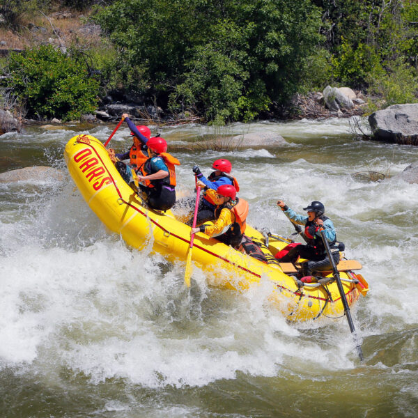
Photo courtesy of American Whitewater
Description
Take Out rapid marks the end of this section of the Black River's East Fork, characterized by a relatively straightforward but narrow exit point with potential for submerged rocks and shifting currents. Paddlers should be prepared for potential route-finding challenges and maintain situational awareness, especially during lower water levels when hidden obstacles may become more prominent.
Location
Other Rapids on This Run (1)
View Full Run
02. Below Wildcat Point
Black, E. Fork
IV-V
101.2 mi
Current Conditions
5-Day Forecast
Whitewater data from
American Whitewater
American Whitewater