Take-out
CO
Take Out
Save this feature with the run it belongs to.
Gauge Conditions
Data from American Whitewater & USGS
Photo
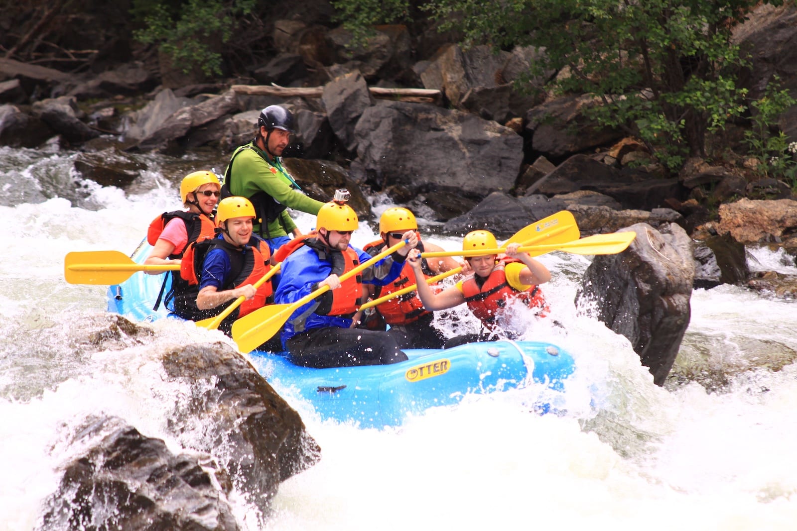
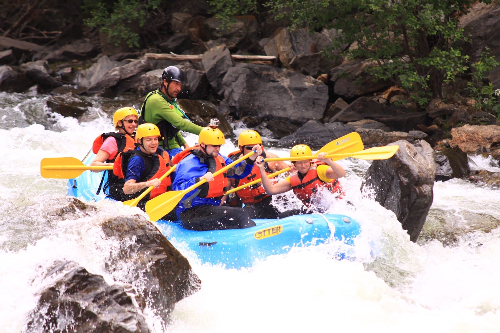
Photo courtesy of American Whitewater
Description
Take Out marks the final navigable section before the takeout point on Upper Clear Creek, characterized by a straightforward but potentially shallow approach with scattered rock gardens requiring precise maneuvering. Paddlers should be prepared for potential bottom scraping and maintain momentum through the shallow sections, staying alert for submerged rocks that can impact boat control and line selection.
Location
Interactive river map
Loads as you approach this section.
Other Rapids on This Run (12)





View Full Run
05. Upper Clear Creek ("Kermits")
Clear Creek
IV
5.4 mi
Current Conditions
5-Day Forecast
Whitewater data from
American Whitewater
American Whitewater