Take-out
TN
Take Out
Save this feature with the run it belongs to.
Gauge Conditions
Runnable: ? – ? CFS
Approximate - nearest available gauge. Use as general reference only.
Data from American Whitewater & USGS
Photo
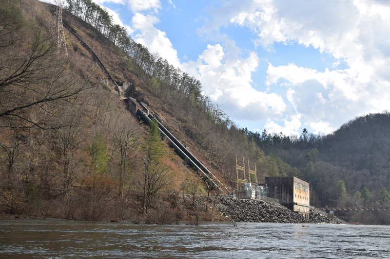
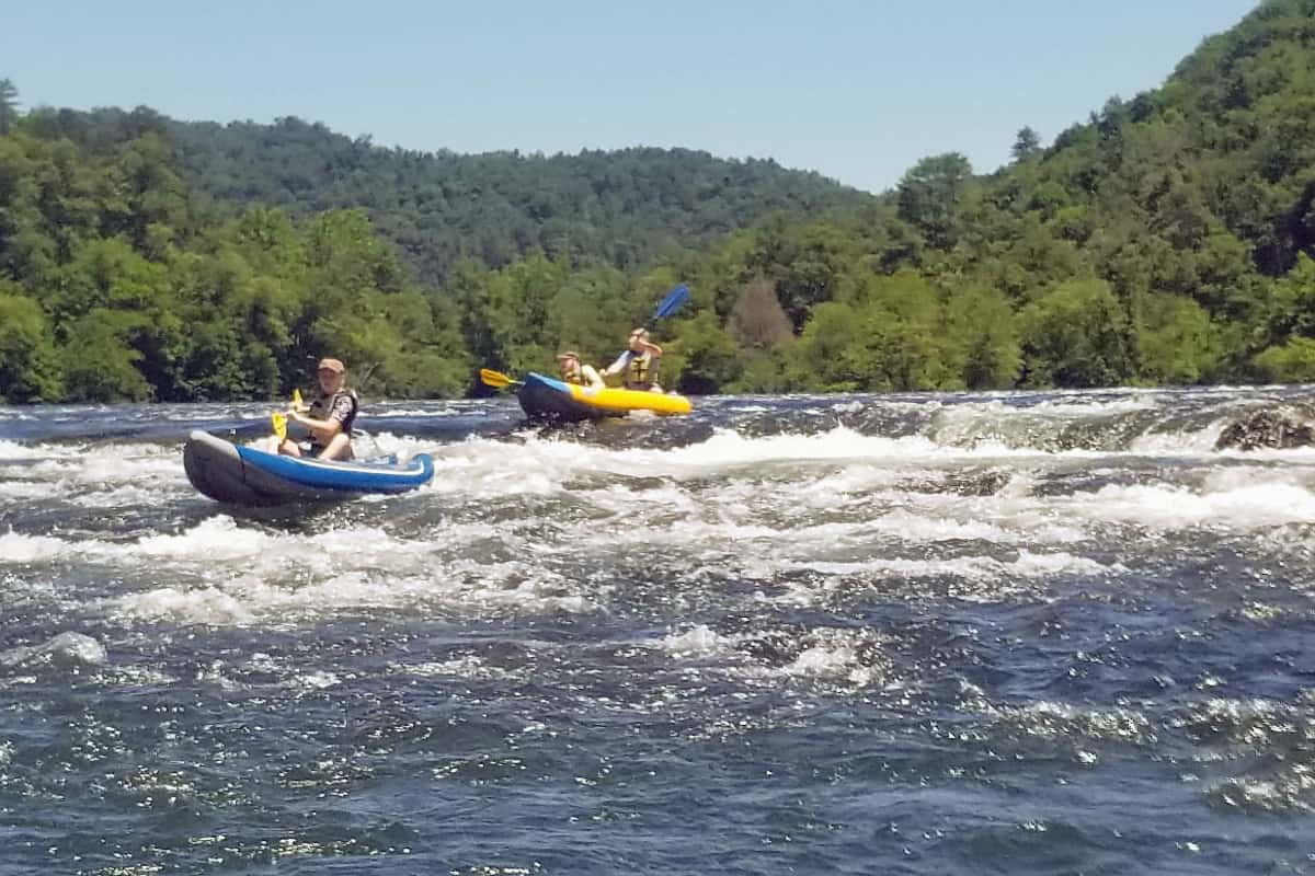
Photo courtesy of American Whitewater
Description
Most people take out on river left just downstream of the Apalachia powerhouse, parking out of the way in the gravel lot near the river, and of course outside of the gates to the powerhouse. A gate at the top of the gorge is sometimes locked, sometimes not. Other folks choose to take out at the Lower Hiwassee put in, downstream. A foot bridge here provide hiking access across the river.
Location
Interactive river map
Loads as you approach this section.
View Full Run
1. Dries: Turtletown Creek to Apalachia Powerhouse
Hiwassee
III-IV
5.7 mi
Current Conditions
5-Day Forecast
Whitewater data from
American Whitewater
American Whitewater