Gauge Conditions
Runnable: ? – ? CFS
Approximate - nearest available gauge. Use as general reference only.
Data from American Whitewater & USGS
Photo
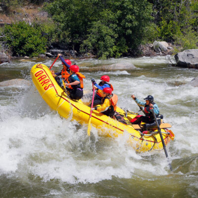
Photo courtesy of American Whitewater
Description
Take Out rapid marks the end of the Rancheria Creek run, presenting paddlers with a transition point that requires careful navigation. While specific details are limited, the rapid likely involves technical maneuvering to safely exit the river section and access the Mountain View Road takeout point.
Location
Other Rapids on This Run (1)
View Full Run
1) Fish Rock Road to Mountain View Road
Rancheria Creek
II+(III)
12.6 mi
Current Conditions
5-Day Forecast
Whitewater data from
American Whitewater
American Whitewater