Take-out
WA
Take Out
Save this feature with the run it belongs to.
Gauge Conditions
Runnable: ? – ? CFS
Approximate - nearest available gauge. Use as general reference only.
Data from American Whitewater & USGS
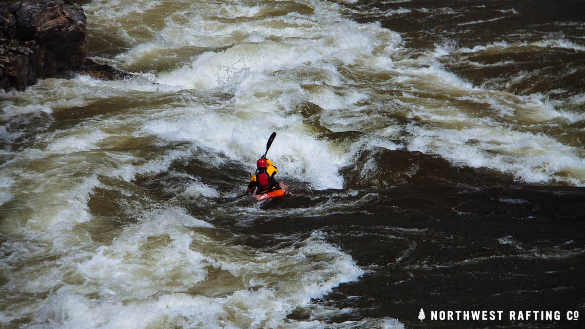
Photo
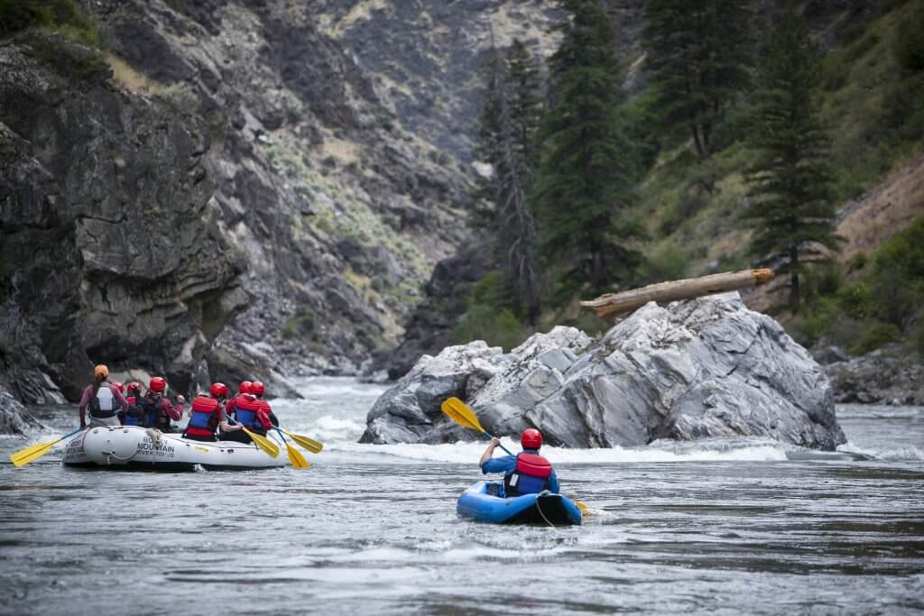
Photo courtesy of American Whitewater
Description
Take Out rapid marks the end of the Sherman Creek run, featuring a straightforward exit point where paddlers typically pull out and assess their descent. While specifics about technical challenges are limited, the rapid appears to serve as a critical transition zone for river navigation, likely requiring careful maneuvering to safely exit the water and avoid potential obstacles near the shore.
Location
Interactive river map
Loads as you approach this section.
Other Rapids on This Run (3)
View Full Run
1. Log Flume interpretive site to Inchelium Rd.
Sherman Creek
III-IV
3.2 mi
Current Conditions
5-Day Forecast
Whitewater data from
American Whitewater
American Whitewater