Gauge Conditions
Runnable: ? – ? CFS
Approximate - nearest available gauge. Use as general reference only.
Data from American Whitewater & USGS
Photo
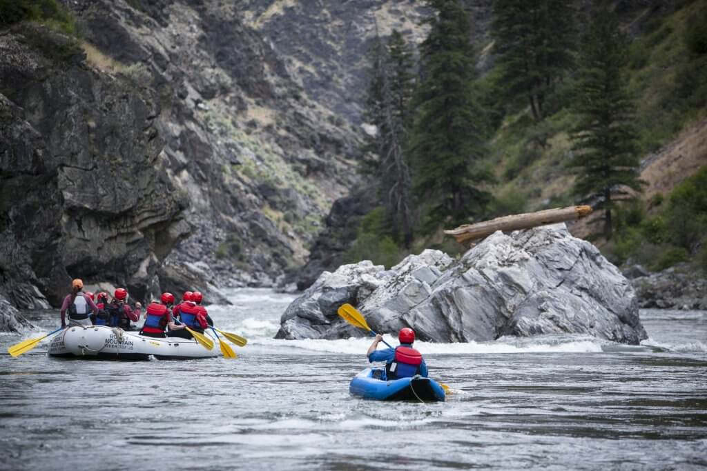
Photo courtesy of American Whitewater
Description
Take Out rapid marks the end of the Lolo Creek run, characterized by a narrow constriction with potential for submerged rocks and debris. Paddlers should carefully scout the exit point and be prepared for potential obstacles or shifting currents near the takeout zone. Local knowledge and river conditions can significantly impact navigability at this location.
Location
Other Rapids on This Run (1)

View Full Run
1. Lolo Campground to Cottonwood Flats
Lolo Creek
II+
12.1 mi
Current Conditions
5-Day Forecast
Whitewater data from
American Whitewater
American Whitewater