Take-out
WA
Take Out
Save this feature with the run it belongs to.
Gauge Conditions
Data from American Whitewater & USGS
Photo
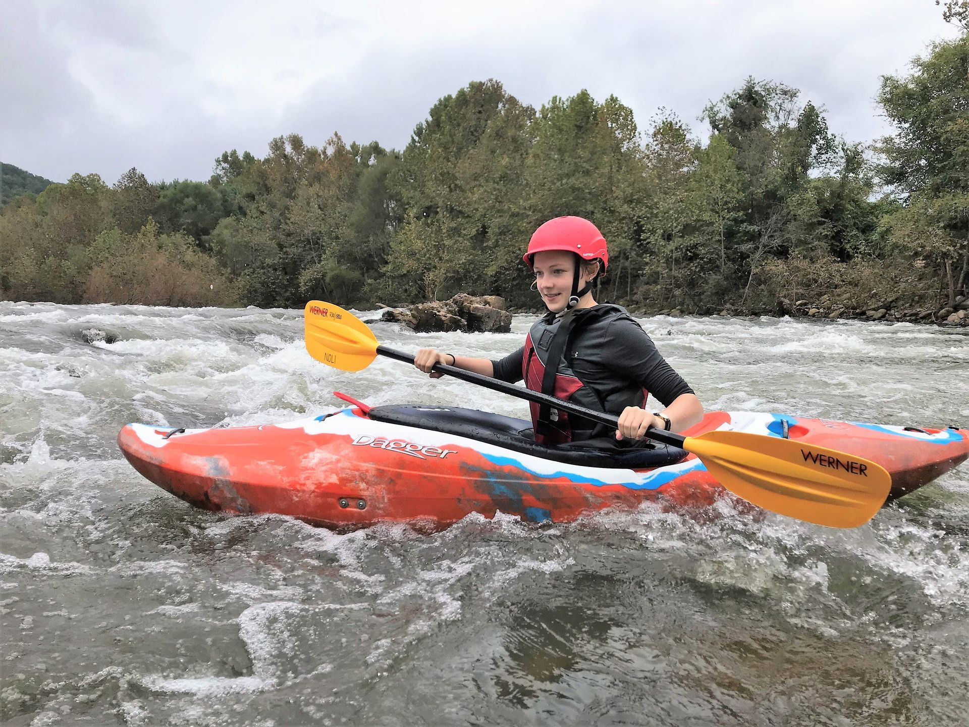
Photo courtesy of American Whitewater
Description
Take Out rapid marks the end of the Upper Icicle Creek run, featuring a tight constriction with potential for pinning hazards among large boulder gardens. Paddlers should carefully scout the rapid from river right, selecting a clean line that avoids undercut rocks and maintains momentum through the technical, rocky terrain.
Location
Interactive river map
Loads as you approach this section.
Other Rapids on This Run (2)
View Full Run
1 - Rock Island Campground to Johnny Creek (Upper)
Icicle Creek
II-III+(V)
5.7 mi
Current Conditions
5-Day Forecast
Whitewater data from
American Whitewater
American Whitewater