Take-out
WV
Take Out
Save this feature with the run it belongs to.
Gauge Conditions
Data from American Whitewater & USGS
Photo

Photo courtesy of American Whitewater
Description
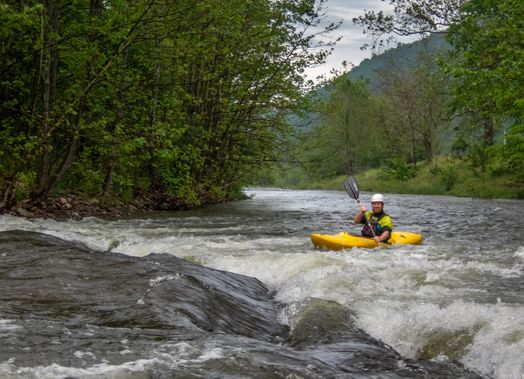
Take Out rapid marks the end of this section of the Potomac's South Branch, characterized by a broad, boulder-strewn riverbed that requires careful navigation. Paddlers should be prepared for potential shifting channel conditions and partially submerged rocks that can create unexpected hydraulics, especially at varying water levels. While not rated for specific difficulty, the rapid demands attentive route-finding and precise maneuvering to avoid potential pinning or broaching hazards.
Location
Interactive river map
Loads as you approach this section.
Other Rapids on This Run (1)
View Full Run
1. VA/ WV state line to CR 23 bridge near the confluence of Thorn Creek
Potomac, S. Branch
I-II
13.1 mi
Current Conditions
5-Day Forecast
Whitewater data from
American Whitewater
American Whitewater