Take-out
WV
Take Out
Save this feature with the run it belongs to.
Gauge Conditions
Data from American Whitewater & USGS
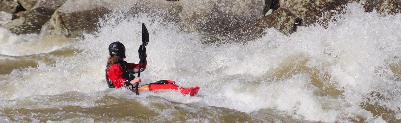
Photo

Photo courtesy of American Whitewater
Description
The Take Out rapid marks the end of the Tygart Valley run, featuring a straightforward exit point where paddlers can safely exit the river. While specifics about this particular rapid are limited, paddlers should be prepared for potential river conditions typical of West Virginia mountain streams, which may include scattered rocks, potential hydraulics, and variable water levels that can impact navigation.
Location
Interactive river map
Loads as you approach this section.
Other Rapids on This Run (1)
View Full Run
1. Valley Head to US 219 bridge near the confluence with Elkwater Fork
Tygart Valley
II+
5.2 mi
Current Conditions
5-Day Forecast
Whitewater data from
American Whitewater
American Whitewater