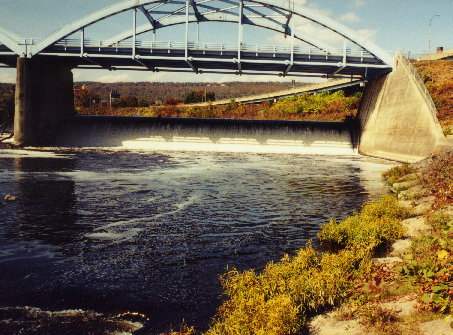
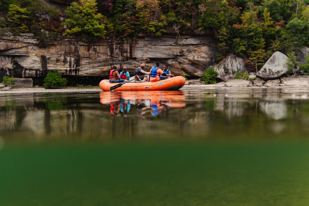
Take-out
KY
Take-out
Save this feature with the run it belongs to.
Gauge Conditions
Data from American Whitewater & USGS
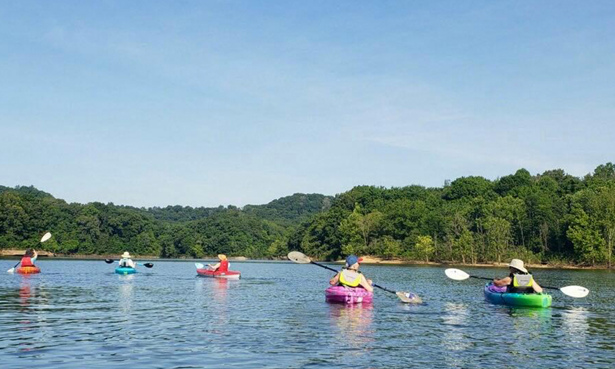
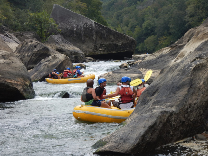
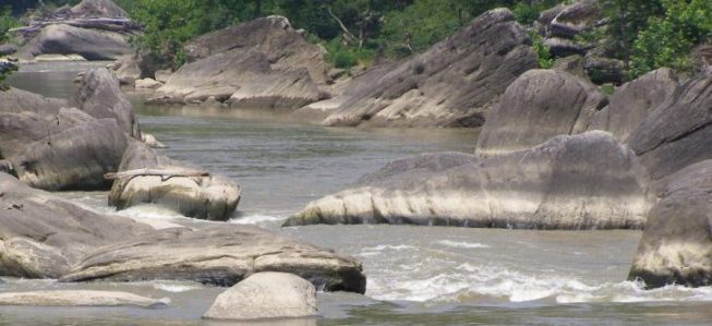
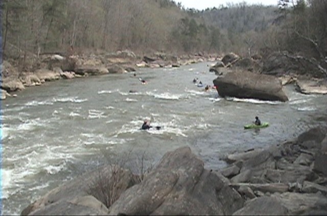
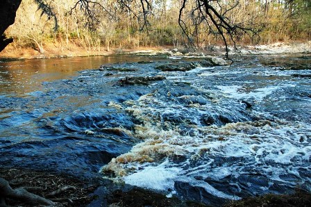
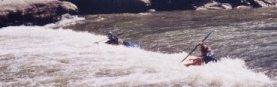
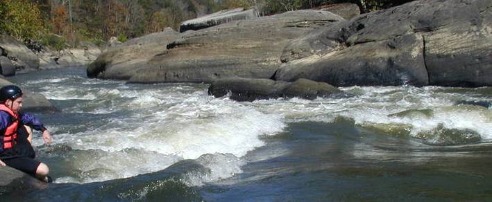
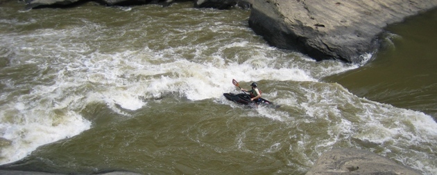
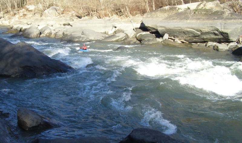
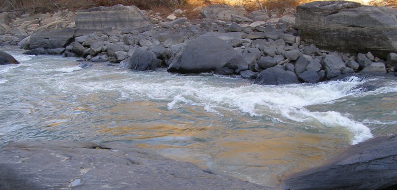
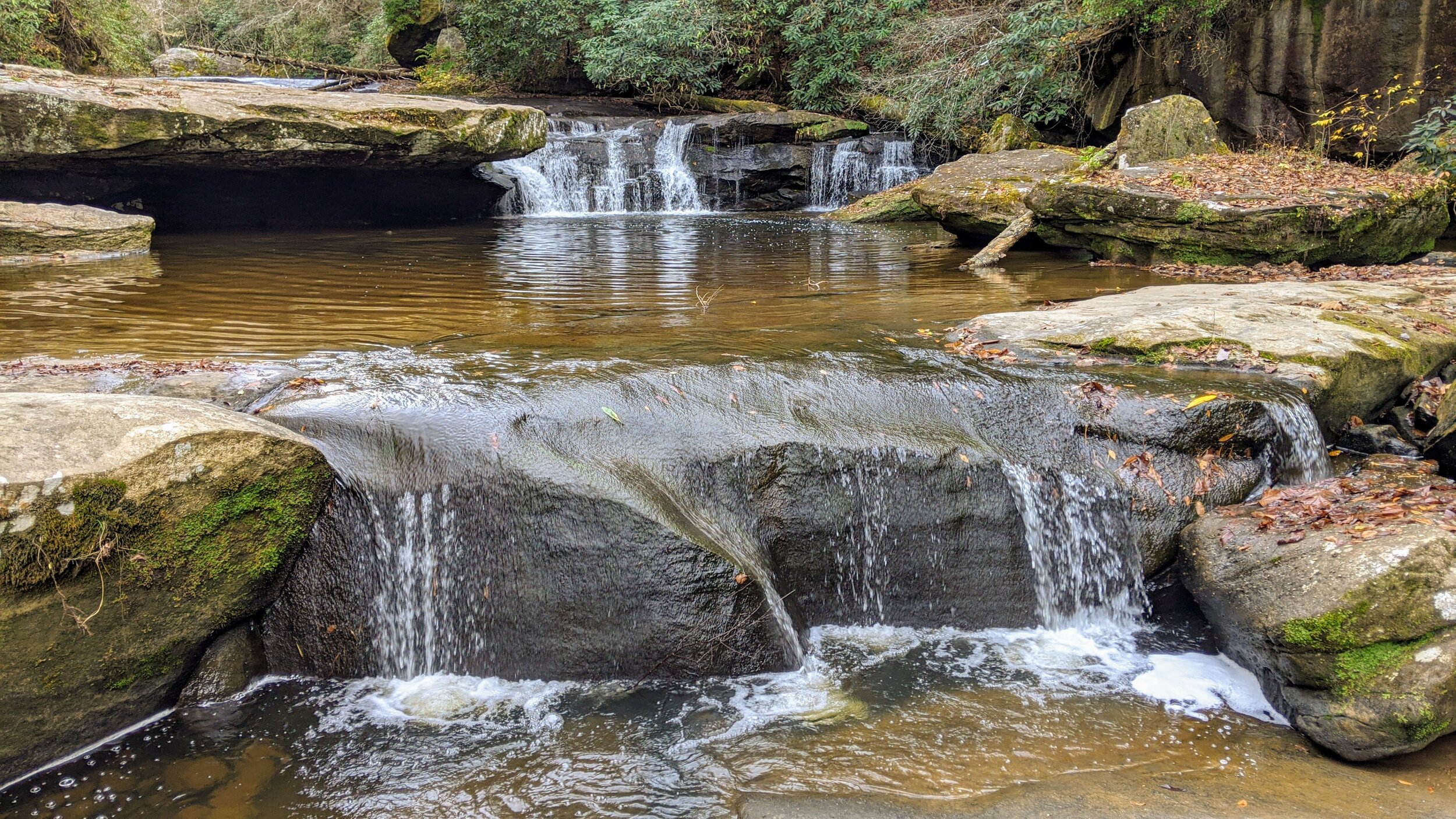
Photo

Photo courtesy of American Whitewater
Description
From the end of the whitewater to the take-out is 4+ miles of flat water depending upon the season and Lake Cumberland's pool elevation. This paddle out takes about1.5 hours depending on the water level. The current can only help you if the river is running 1000CFS or more, with less its a longer paddle.
The take out is at the Mouth of the Laurel River boat ramp. From interstate 75 exit 25 in Corbin take 25W west approx 5 miles to 1193/1277. 1193 turns right and 1277 dead ends at the take out. Click here for a link to the shuttle: Cumberland Shuttle Map
Location
Other Rapids on This Run (14)
 Rapid
Rapid
Put In Parking Area
 Rapid
N/A
Rapid
N/A
Launch
 Rapid
II
Rapid
II
Initiation
 Hazard
III
Hazard
III
Center Rock
 Hazard
II+
Hazard
II+
Misery
 Hazard
II+
Hazard
II+
Bradfords Rock
 Rapid
II+
Rapid
II+
Willie Nelson's
 Hazard
II
Hazard
II
Dog Slaugter shoals
 Rapid
II+
Rapid
II+
Surfers
 Hazard
III
Hazard
III
Pinball
 Rapid
III+
Rapid
III+
Screaming Right
 Rapid
III
Rapid
III
Stairsteps
 Rapid
III+
Rapid
III+
Last Drop
 Rapid
II+
Rapid
II+
Bark Camp Creek Shoals
View Full Run
2) Cumberland Falls to Laurel River (10.5 miles)
Cumberland
III
10.4 mi
Current Conditions
5-Day Forecast
Whitewater data from
American Whitewater
American Whitewater