Take-out
CA
Take Out
Save this feature with the run it belongs to.
Gauge Conditions
Runnable: 200.0 – 30,000.0 CFS
Flow range for best boatability uncertain. Please help your fellow boaters with a comment or report.
Data from American Whitewater & USGS
CDEC Flow Data California
Data from California Data Exchange Center (CDEC)
Photo
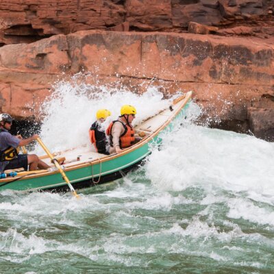
Photo courtesy of American Whitewater
Description
Take Out is a potentially dangerous exit point requiring careful navigation at the end of the Grizzly Creek to Highway 36 run. Paddlers must be alert for potential hazards near the takeout point, including potential shallow rocks, potential strainers, and potential swift current transitions. Precise boat control and careful scouting are recommended to ensure a safe exit from the river.
Location
Interactive river map
Loads as you approach this section.
Other Rapids on This Run (1)
View Full Run
2. Grizzly Creek to Hwy 36 bridge, 7.5 mi. E. of Carlotta
Van Duzen
II-III
4.1 mi
Current Conditions
5-Day Forecast
Whitewater data from
American Whitewater
American Whitewater