Take-out
WV
Take Out
Save this feature with the run it belongs to.
Gauge Conditions
Data from American Whitewater & USGS
Photo
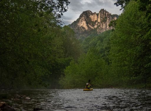
Photo courtesy of American Whitewater
Description
Take Out rapid marks the end of this Seneca Creek run, characterized by a narrow constriction with potential for rock dodging and tight maneuvering. The rapid's exit point serves as the standard take-out location for boaters completing this section, requiring careful boat positioning and precise navigation through the final hydraulics. Paddlers should be prepared for potential shallow or exposed rocks and plan their line carefully to avoid pinning or unexpected obstacles.
Location
Interactive river map
Loads as you approach this section.
Other Rapids on This Run (1)
View Full Run
2. (Lower) Forest Service Campground to Route 28 Bridge
Seneca Creek
III
6.1 mi
Current Conditions
5-Day Forecast
Whitewater data from
American Whitewater
American Whitewater