Take-out
VT
Take out
Save this feature with the run it belongs to.
Gauge Conditions
Runnable: 150.0 – 10,000.0 CFS
Upper limit for best boatability uncertain. Please help your fellow boaters with a comment or report.
Data from American Whitewater & USGS
Description
After the last rapid, paddle along the flat water until you see signs for the Carver Falls Dam and a trail on river left. Follow the trail to your car. For directions to the take-out, look up the dam on Google or wait for a update from me so I can get the road names.
Location
Interactive river map
Loads as you approach this section.
View Full Run
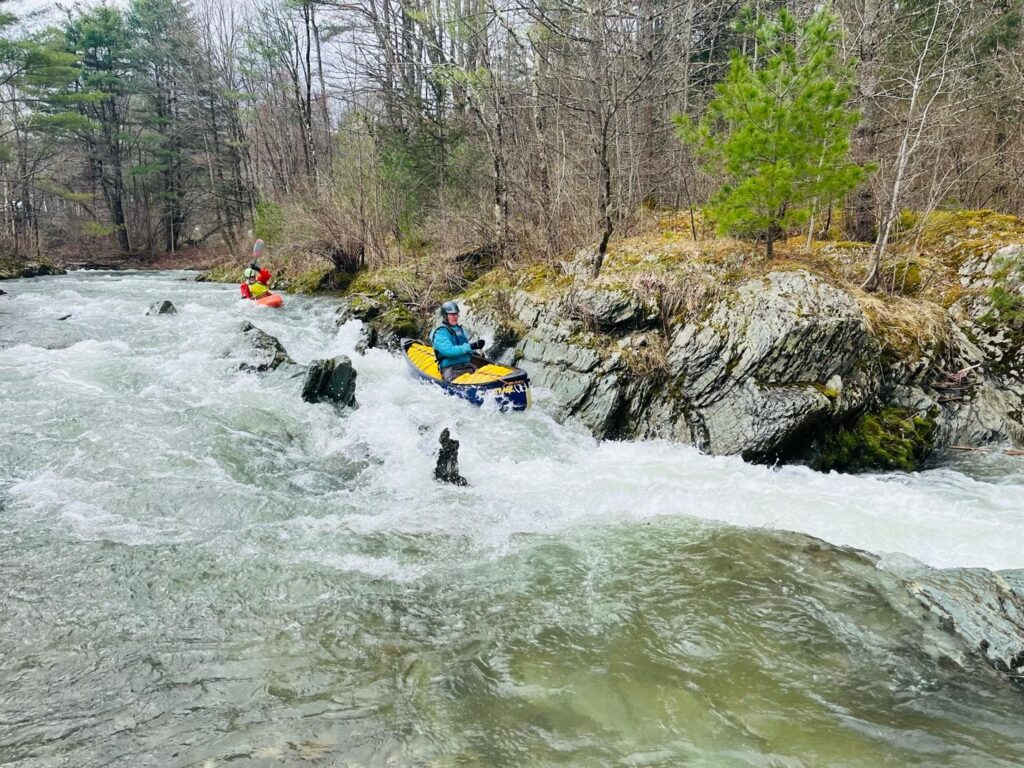
2. Lower
Poultney
III-IV
3.9 mi
Current Conditions
5-Day Forecast
Whitewater data from
American Whitewater
American Whitewater