Gauge Conditions
Runnable: ? – ? CFS
Approximate - nearest available gauge. Use as general reference only.
Data from American Whitewater & USGS
Photo
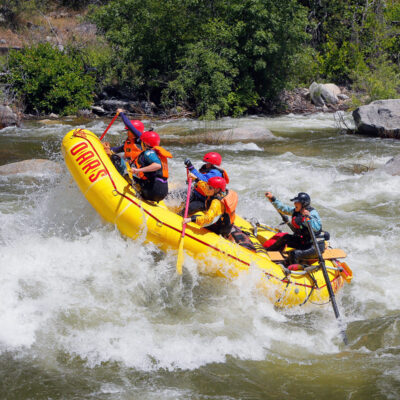
Photo courtesy of American Whitewater
Description
Take Out rapid marks the conclusion of the Rancheria Creek run, characterized by a complex boulder garden with multiple potential routes requiring precise boat positioning and momentum. Paddlers must carefully navigate a series of closely spaced rocks and potential pin hazards, with the primary line requiring a technical approach near the right bank to avoid potential undercut formations. While specific difficulty ratings are unavailable, experienced whitewater boaters should scout this rapid carefully and be prepared for potential Class III-IV technical challenges.
Location
Other Rapids on This Run (1)
View Full Run
2) Mountain View Road to Navarro River
Rancheria Creek
II
11.2 mi
Current Conditions
5-Day Forecast
Whitewater data from
American Whitewater
American Whitewater