Take-out
WV
Take Out
Save this feature with the run it belongs to.
Gauge Conditions
Runnable: ? – ? CFS
Approximate - nearest available gauge. Use as general reference only.
Data from American Whitewater & USGS
Photo
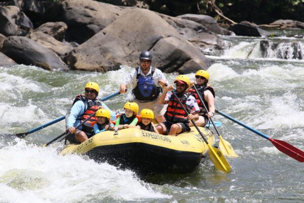
Photo courtesy of American Whitewater
Description
Take Out rapid marks the terminus of this Second Creek run, characterized by a broad, shallow gradient where paddlers must carefully navigate scattered rocks and potential pin hazards. The rapid requires precise boat positioning to avoid potential entrapment points, with the most navigable line typically hugging the river right side where water volume is more consistent.
Location
Interactive river map
Loads as you approach this section.
Other Rapids on This Run (1)

View Full Run
2. US 219 bridge to the confluence with the Greenbrier River
Second Creek
I-II
9.1 mi
Current Conditions
5-Day Forecast
Whitewater data from
American Whitewater
American Whitewater