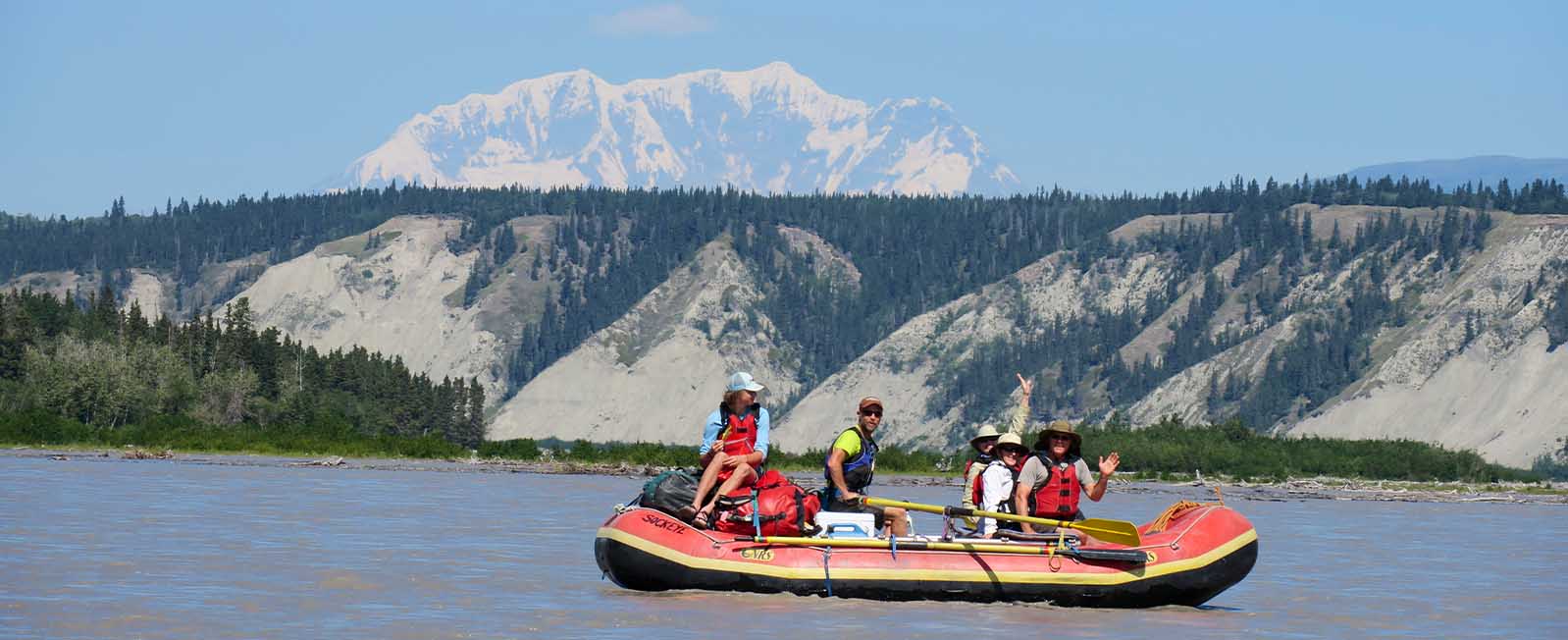
Take-out
AK
Take Out
Save this feature with the run it belongs to.
Gauge Conditions
Runnable: ? – ? CFS
Approximate - nearest available gauge. Use as general reference only.
Data from American Whitewater & USGS
Photo
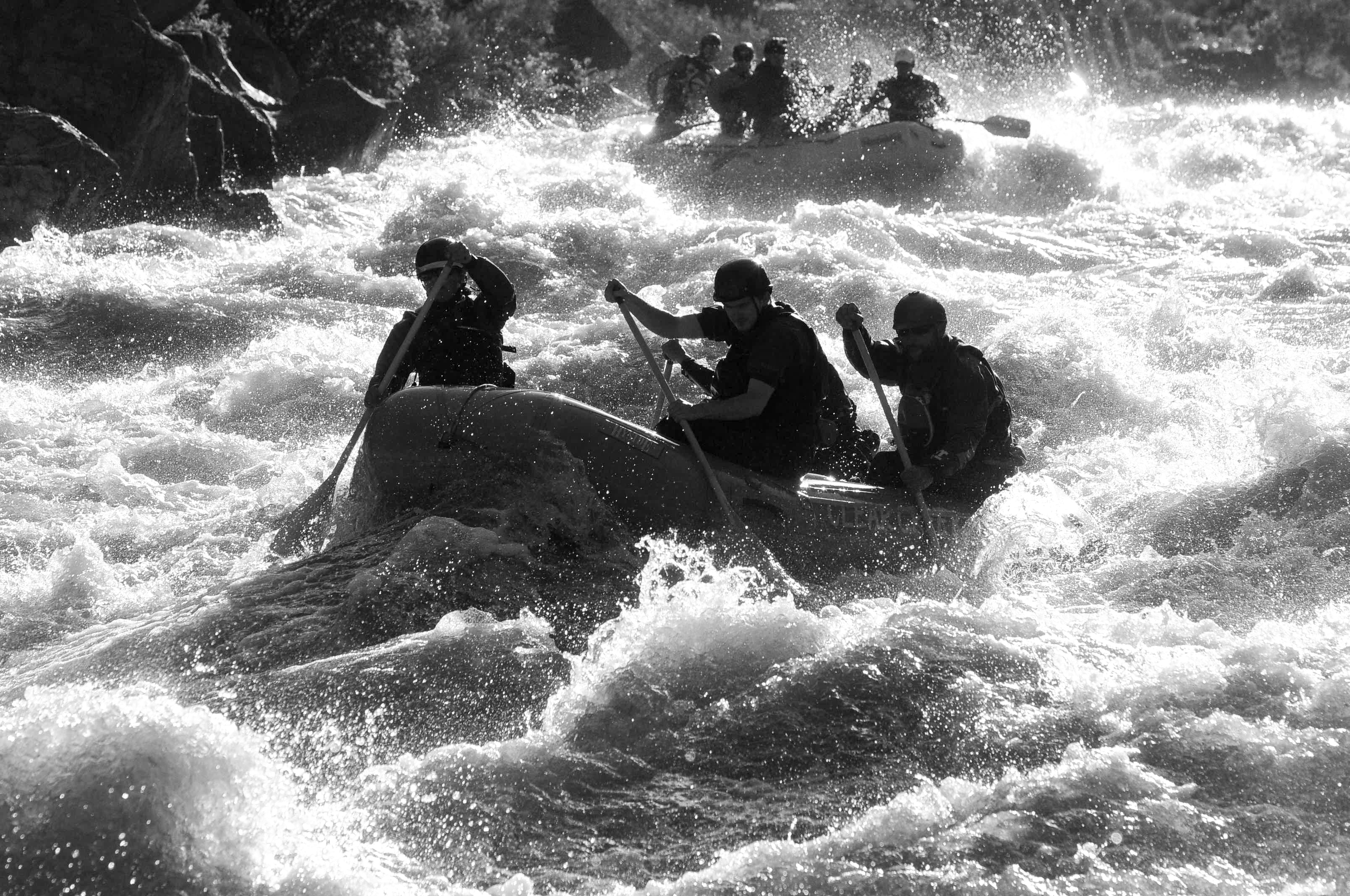
Photo courtesy of American Whitewater
Description
Take Out marks the end of the Copper River's wilderness run, signaling the conclusion of a remote and challenging journey through Alaska's rugged landscape. While specific details about the rapid's technical features are limited, paddlers should be prepared for potential log hazards, shifting channels, and the complex dynamics of a glacial river system transitioning to tidal waters.
Location
Other Rapids on This Run (1)
View Full Run
3. Chitina R. to Gulf of Alaska
Copper
II
115.0 mi
Current Conditions
5-Day Forecast
Whitewater data from
American Whitewater
American Whitewater