Take-out
WA
Take Out
Save this feature with the run it belongs to.
Gauge Conditions
Data from American Whitewater & USGS
Photo
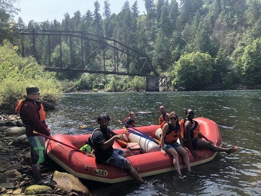
Photo courtesy of American Whitewater
Description
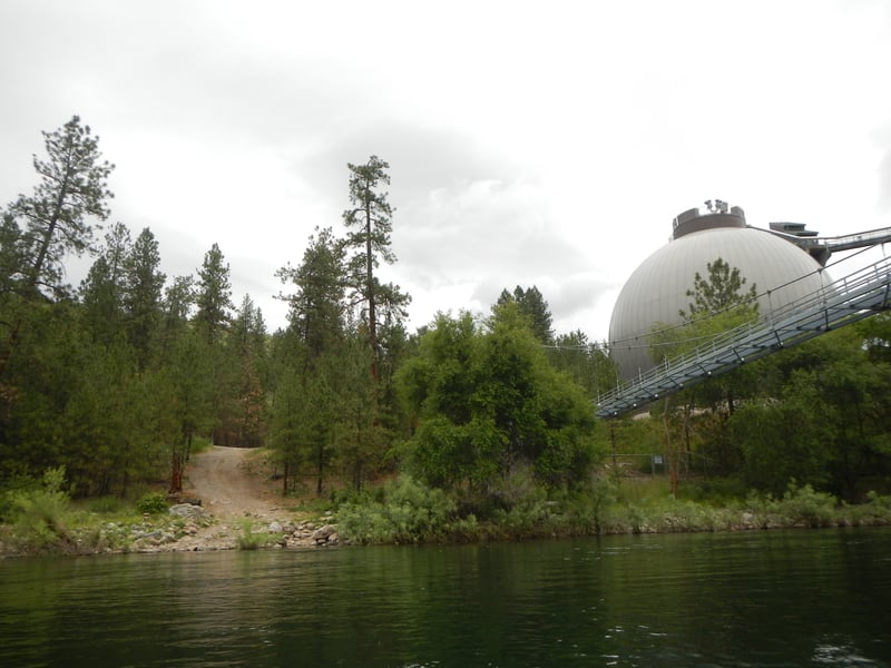
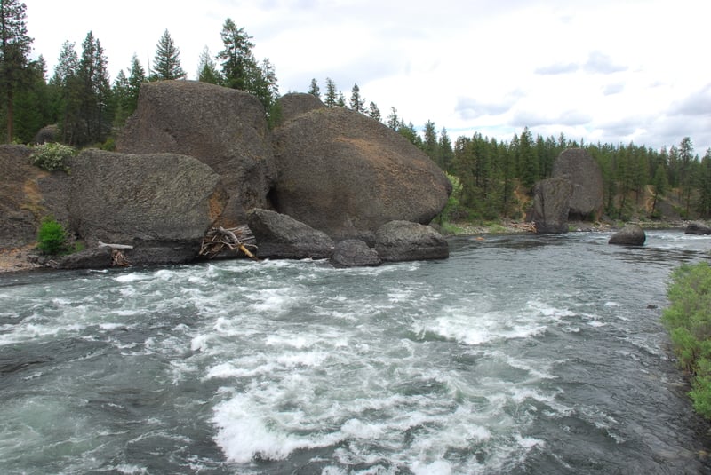
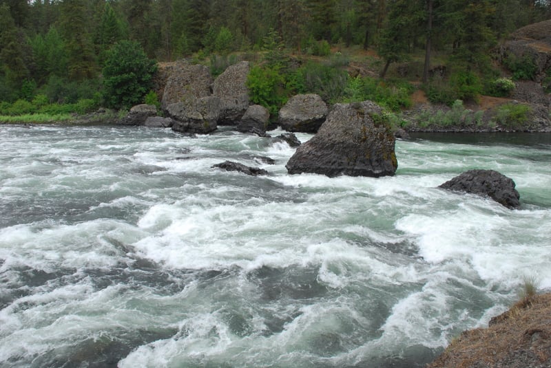
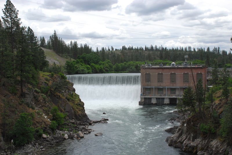
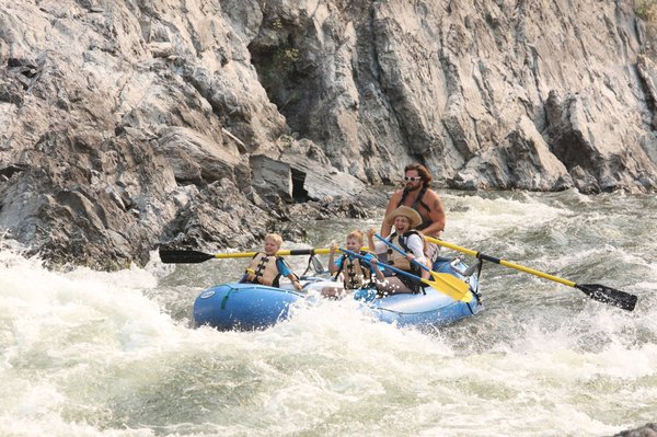
Take Out rapid marks the end of this river section, serving as a critical exit point for paddlers near the T.J. Meenach Bridge. The take-out requires careful navigation due to potential debris and variable water levels, with paddlers needing to be alert for potential obstacles near the river's edge. Precise boat positioning and a clean exit strategy are essential to safely conclude this stretch of the Spokane River.
Location
Interactive river map
Loads as you approach this section.
View Full Run
3. T.J. Menach Bridge in Spokane to Plese Flats (Lower)
Spokane
II-III+
6.8 mi
Current Conditions
5-Day Forecast
Whitewater data from
American Whitewater
American Whitewater