Take-out
WY
Take Out
Save this feature with the run it belongs to.
Gauge Conditions
Data from American Whitewater & USGS
Photo
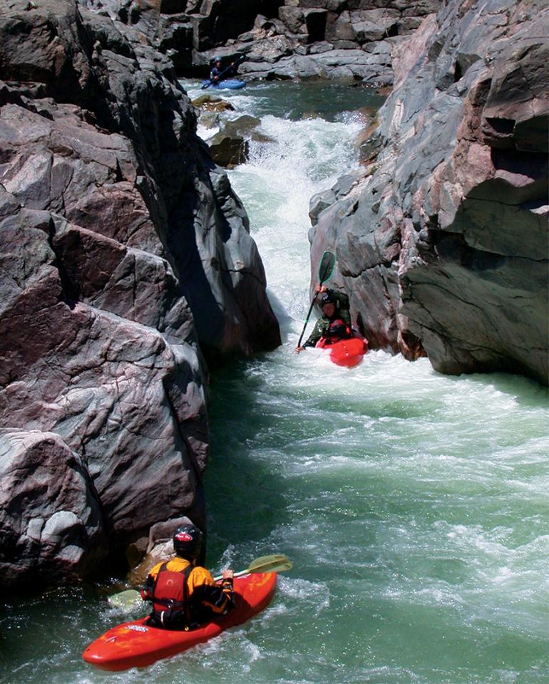
Photo courtesy of American Whitewater
Description
Take Out marks the end of the challenging Lower Clarks Fork Yellowstone section, requiring precise navigation through a complex boulder field and potential undercut hazards. Paddlers must carefully thread through tight channels and watch for hidden rocks that can create unexpected pinning risks, especially at varying water levels.
Location
Interactive river map
Loads as you approach this section.
Other Rapids on This Run (1)
View Full Run
5. Lower
Clarks Fork Yellowstone
III-V
2.8 mi
Current Conditions
5-Day Forecast
Whitewater data from
American Whitewater
American Whitewater