Gauge Conditions
Runnable: 200.0 – 10,000.0 CFS
Range for best boatability uncertain. Please help your fellow paddlers by providing a comment or report.
Data from American Whitewater & USGS
Photo
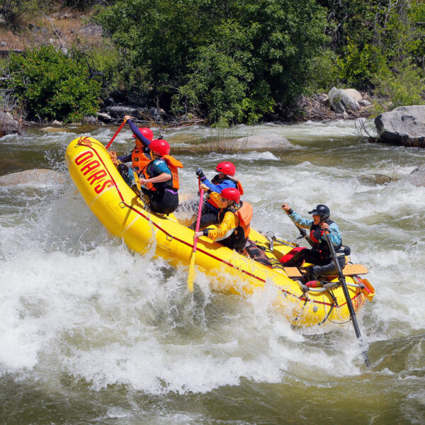
Photo courtesy of American Whitewater
Description
Take Out rapid marks the conclusion of the South Fork Eel run, featuring a complex exit with potential for debris and shifting channels. Navigating this section requires careful route selection and awareness of potential underwater hazards, particularly during lower water levels when rocks and shallow sections become more prominent.
Location
Other Rapids on This Run (1)
View Full Run
5) South Fork Eel to Rio Dell
Eel
II
19.3 mi
Current Conditions
5-Day Forecast
Whitewater data from
American Whitewater
American Whitewater