Take-out
MI
Take Out
Save this feature with the run it belongs to.
Gauge Conditions
Runnable: 2,000.0 – 5,000.0 CFS
Almost certainly too low for whitewater in areas of gradient. Likely less than 100 cfs. (Can be paddled as flatwater, with portage/drag across gradient.)
Data from American Whitewater & USGS
Photo
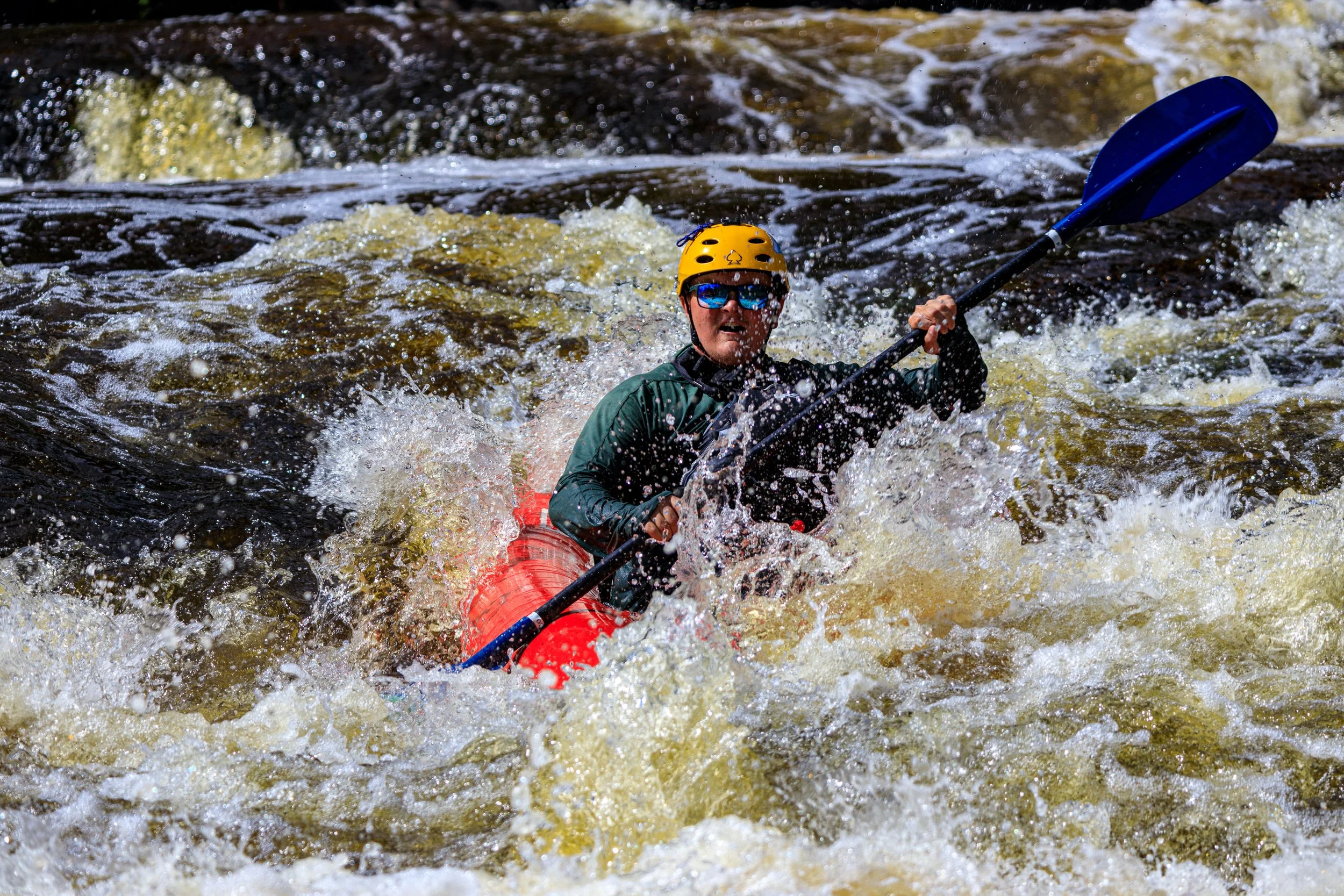
Photo courtesy of American Whitewater
Description
Take Out is a transition rapid marking the end of this Sturgeon River section, characterized by a gradually widening river bed and potential shallow areas that require careful navigation. Paddlers should be prepared for potential obstacles and route-finding challenges as the river transitions from its more confined upstream character to a more dispersed downstream environment.
Location
Interactive river map
Loads as you approach this section.
View Full Run
A) Nestoria Herman Road to bushwack singletrack (3.6 miles)
Sturgeon (Baraga)
II-III+
2.9 mi
Current Conditions
5-Day Forecast
Whitewater data from
American Whitewater
American Whitewater