Take-out
MI
Take Out
Save this feature with the run it belongs to.
Gauge Conditions
Runnable: ? – ? CFS
Approximate - nearest available gauge. Use as general reference only.
Data from American Whitewater & USGS
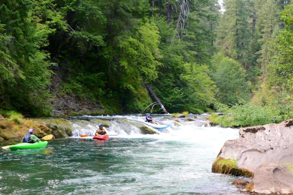
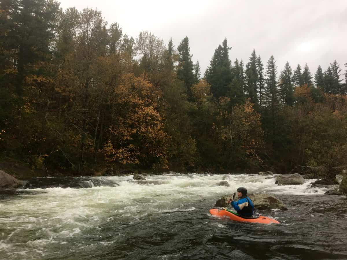
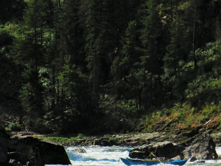
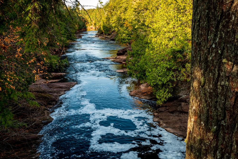
Photo
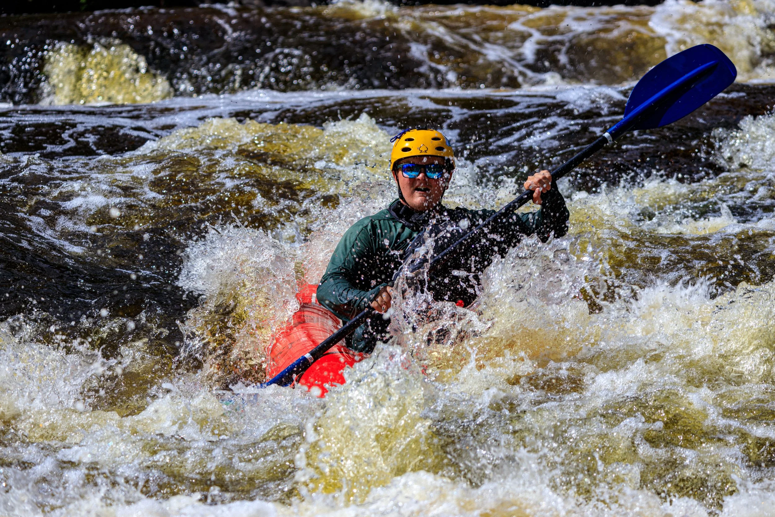
Photo courtesy of American Whitewater
Description
Take Out represents the concluding segment of the Slate River's Top Slate section, marking the transition point where paddlers typically exit the waterway near Arvon Quarry. While specific details about the rapid's characteristics are limited, paddlers should be prepared for potential navigational challenges and maintain situational awareness as they approach the takeout point.
Location

View Full Run
A) Top Slate: unnamed road to near Arvon Quarry (up to 3.76 miles)
Slate
II-IV
3.1 mi
Current Conditions
5-Day Forecast
Whitewater data from
American Whitewater
American Whitewater