Gauge Conditions
Runnable: ? – ? CFS
Approximate - nearest available gauge. Use as general reference only.
Data from American Whitewater & USGS
Photo

Photo courtesy of American Whitewater
Description
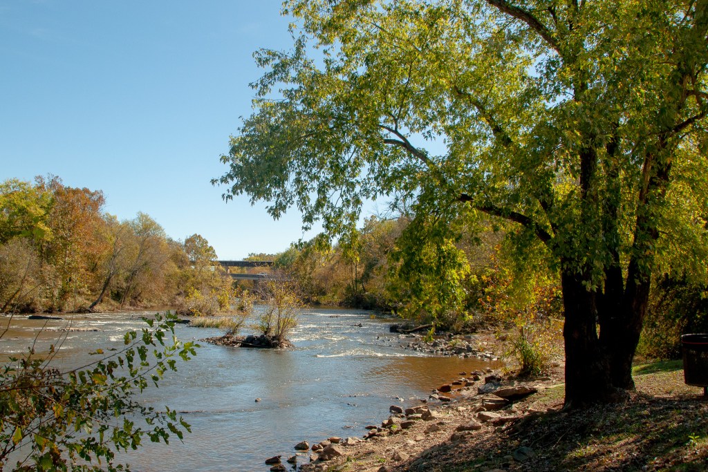
Take Out rapid serves as the exit point for this Haw Creek run, marking the end of the 3.3-mile section near Highway 23. While details are limited, paddlers should be prepared for potential debris or shallow sections near the takeout point, and carefully scout exit conditions before approaching.
Location
Other Rapids on This Run (1)
View Full Run
Along Hwy 23 (3.3 miles)
Haw Creek
II-III+
3.4 mi
Current Conditions
5-Day Forecast
Whitewater data from
American Whitewater
American Whitewater