Take-out
WI
Take Out
Save this feature with the run it belongs to.
Gauge Conditions
Data from American Whitewater & USGS
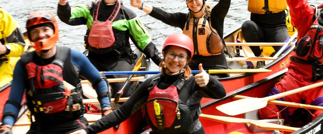
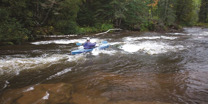
Photo

Photo courtesy of American Whitewater
Description
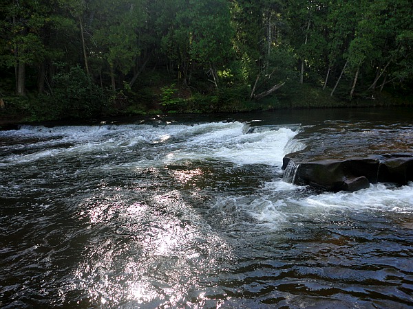
Take Out is the final rapid on this stretch of the Bois Brule, marking the end of the run at Highway 13 bridge. The rapid offers a straightforward exit with minimal technical challenges, but paddlers should be aware of potential bridge pilings and maintain situational awareness when approaching the takeout point.
Location
Interactive river map
Loads as you approach this section.
Other Rapids on This Run (5)


View Full Run
B) Copper Range Campground to Hwy. 13 (9 miles)
Bois Brule
II
8.7 mi
Current Conditions
5-Day Forecast
Whitewater data from
American Whitewater
American Whitewater