Take-out
MI
Take Out
Save this feature with the run it belongs to.
Gauge Conditions
Runnable: 200.0 – 2,000.0 CFS
Likely too low for true whitewater. Flatwater likely paddleable, but expect to scrape at any gradient/shoals.
Data from American Whitewater & USGS
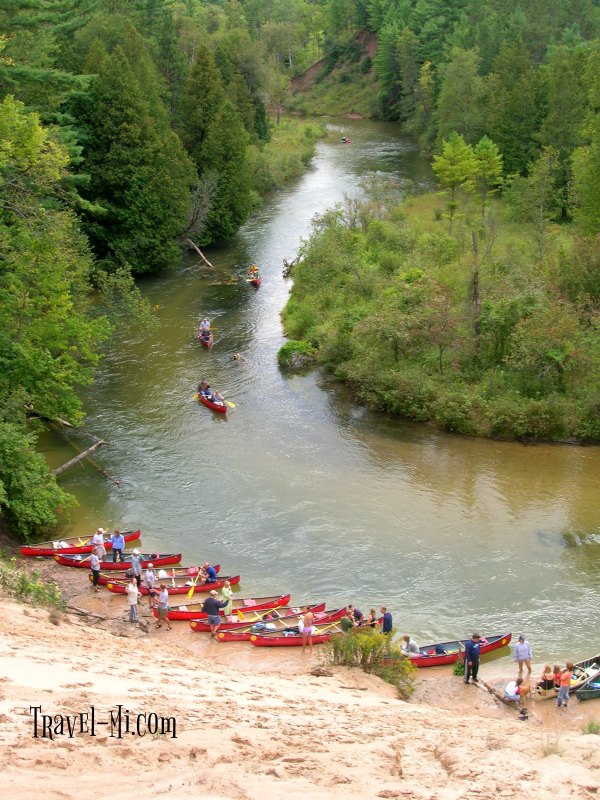
Photo

Photo courtesy of American Whitewater
Description
Take Out is a relatively straightforward rapid with minimal technical challenges on this section of the Pine River. While specific hazards are not prominently documented, paddlers should maintain standard vigilance for potential submerged obstacles and flow-dependent conditions typical of Upper Peninsula streams.
Location
Interactive river map
Loads as you approach this section.
Other Rapids on This Run (5)
View Full Run
B) N Srv Road to Dixie Highway (Hwy.134) (3.3 miles)
Pine (Eastern UP)
I-II
2.2 mi
Current Conditions
5-Day Forecast
Whitewater data from
American Whitewater
American Whitewater