Gauge Conditions
Runnable: 100.0 – 1,000.0 CFS
Likely too low for any meaningful whitewater. (We can use your input to refine boatable ranges! Add a comment or report.)
Data from American Whitewater & USGS
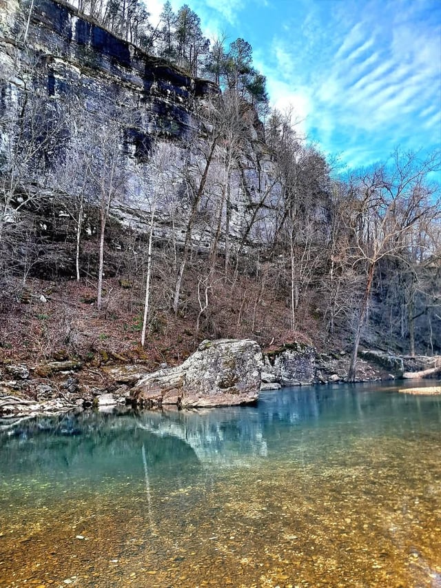
Photo
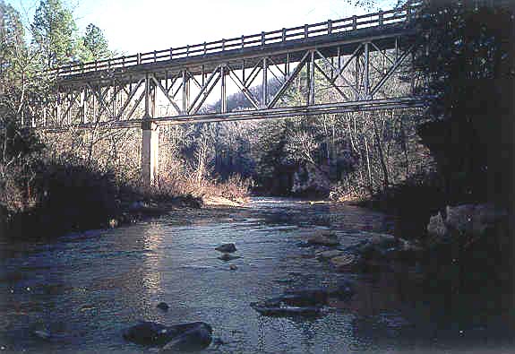
Photo courtesy of American Whitewater
Description
Take Out is the final rapid marking the end of the North Sylamore Creek run, characterized by a wide, shallow section with scattered rocks and potential for pin hazards at low water levels. Paddlers should be prepared to navigate carefully through the braided channel, watching for submerged obstacles and selecting the cleanest line based on current water conditions.
Location
Other Rapids on This Run (1)
View Full Run
Barkshed to Allison (4 - 14.5 miles)
North Sylamore Creek
I-II
14.7 mi
Current Conditions
5-Day Forecast
Whitewater data from
American Whitewater
American Whitewater