Take-out
WV
Take Out
Save this feature with the run it belongs to.
No sufficiently local live gauge linked. 1 automated match was excluded because locality could not be verified. Use the parent run and local sources before making a trip decision.
Photo
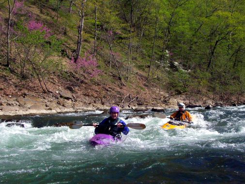
Photo courtesy of American Whitewater
Description
Take Out rapid marks the terminus of this stretch, characterized by a narrow constriction that funnels water through a technical boulder field with limited maneuvering room. Paddlers must carefully navigate the tightly packed rocks and potential undercuts, maintaining precise boat control to avoid pinning or getting wedged between obstacles. Local knowledge is critical, as the rapid's complexity increases with varying water levels and can quickly become unrunnable or extremely hazardous.
Location
Interactive river map
Loads as you approach this section.
Other Rapids on This Run (1)
View Full Run
Base of Dam to confluence of the South Fork
Potomac, Brushy Fork of the S. Fk. of the S. Br.
II
0.9 mi
Current Conditions
5-Day Forecast
Whitewater data from
American Whitewater
American Whitewater