Take-out
AK
Take Out
Save this feature with the run it belongs to.
Gauge Conditions
Runnable: ? – ? CFS
Approximate - nearest available gauge. Use as general reference only.
Data from American Whitewater & USGS
Photo
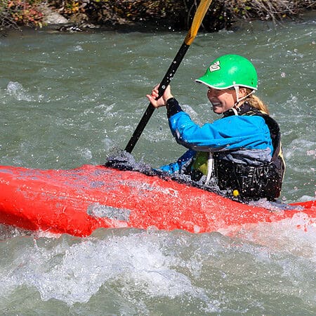
Photo courtesy of American Whitewater
Description
Take Out rapid marks the end of the Dadina River run, situated just before the confluence with the Copper River. While specific details are limited, the rapid likely features braided channels and potential shallow sections that require careful navigation during lower water levels. Paddlers should be prepared for potential route-finding challenges and potential rock interactions near the takeout point.
Location
Other Rapids on This Run (1)

View Full Run
Bush strip to Copper River
Dadina
III-IV(V+)
30.0 mi
Current Conditions
5-Day Forecast
Whitewater data from
American Whitewater
American Whitewater