Take-out
WI
Take Out
Save this feature with the run it belongs to.
Gauge Conditions
Runnable: ? – ? CFS
Approximate - nearest available gauge. Use as general reference only.
Data from American Whitewater & USGS
Photo
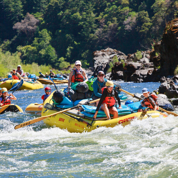
Photo courtesy of American Whitewater
Description
Take Out marks the terminus of this river section, characterized by a potential shallow approach and possible debris or strainers near the exit point. Paddlers should carefully scout the takeout location and be prepared for potential obstacles or swift current transitions when exiting the river. Exact conditions may vary with water levels, so a careful approach and situational awareness are recommended.
Location
Interactive river map
Loads as you approach this section.
Other Rapids on This Run (19)
 Rapid
N/A
Rapid
N/A
Put In
Rapid
N/A
USGS Gauge
 Rapid
N/A
Rapid
N/A
First significant rapids sequence
Rapid
N/A
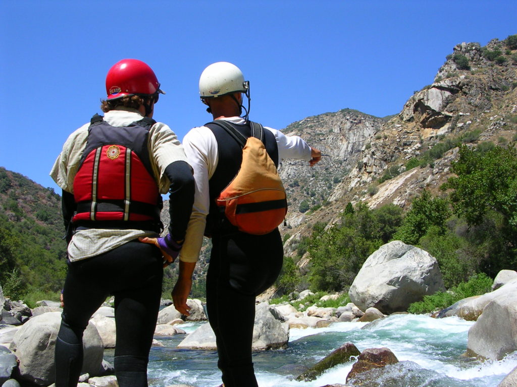
Final Drop of First Sequence
 Rapid
N/A
Rapid
N/A
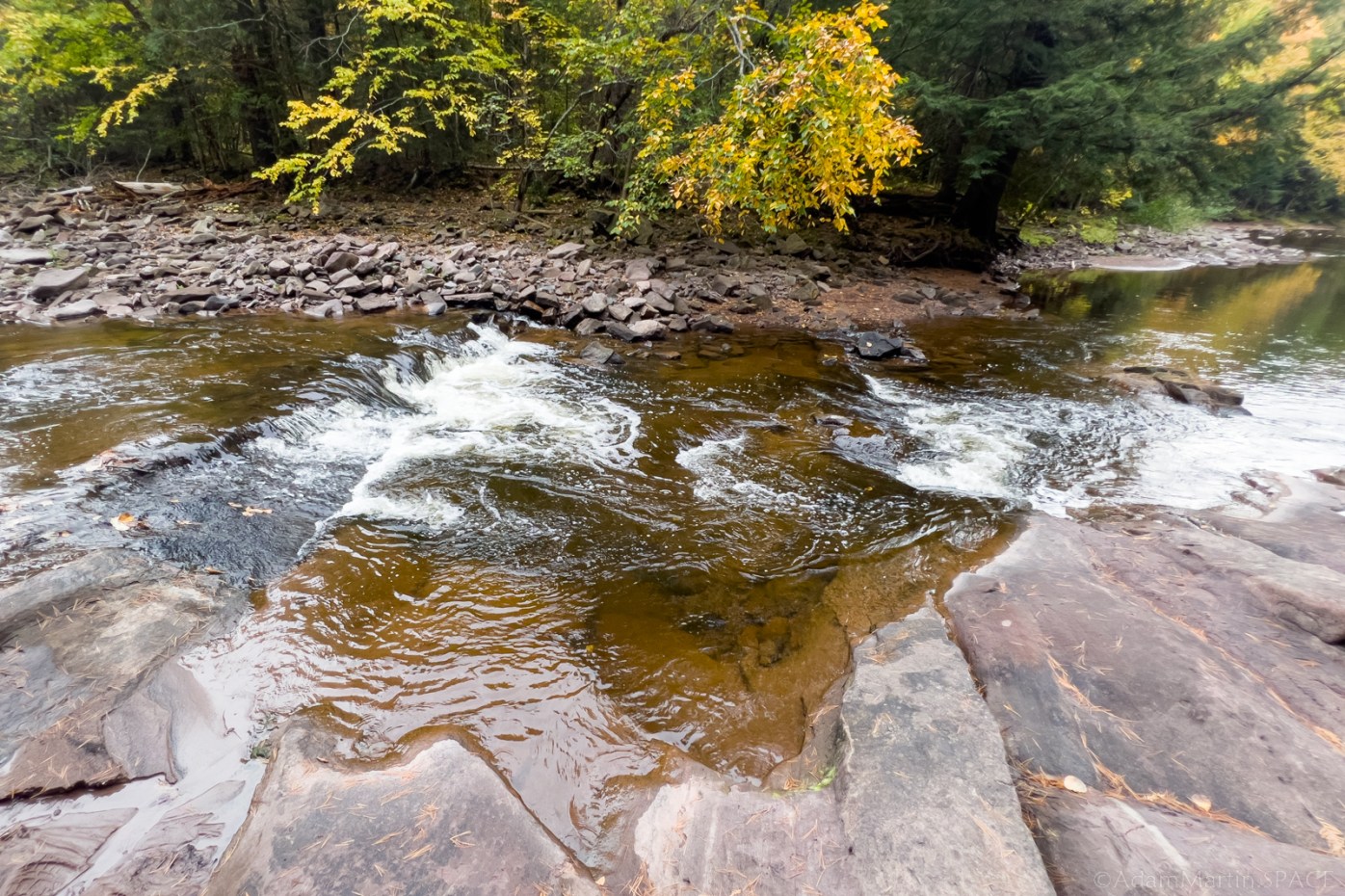
Beginning of Potato River Falls sequence
Rapid
N/A
Parking for Potato River Falls
 Waterfall
N/A
Waterfall
N/A
Final Drop of Potato River Falls
Rapid
N/A
Start (continuation?) of gradient sequence
 Rapid
N/A
Rapid
N/A
First of back-to-back ledge-drops
Rapid
N/A
Second of back-to-back ledge-drops
Rapid
N/A
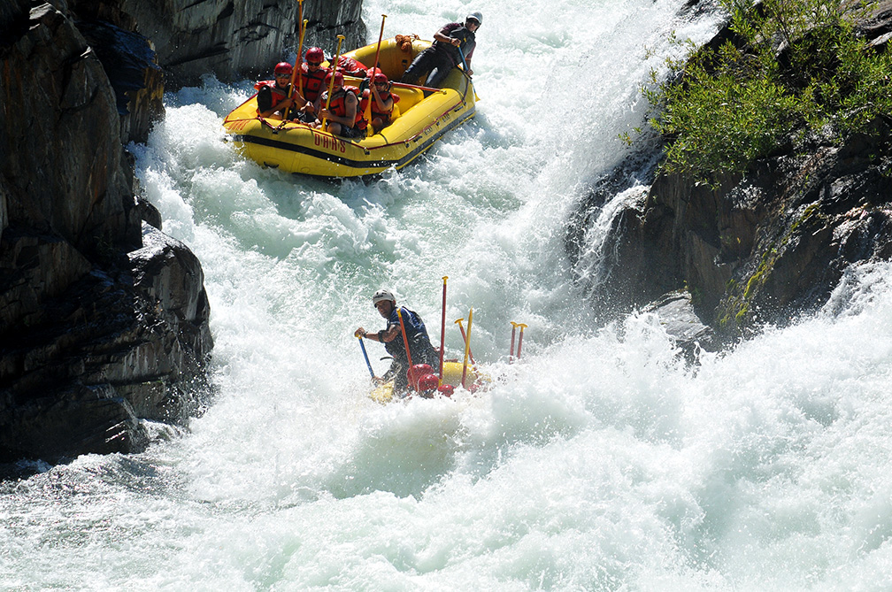
Uncertain area leading to drop
 Rapid
N/A
Rapid
N/A
Possible chute or compression waves
Hazard
N/A
***Entering Bad River Indian Reservation lands***
Rapid
N/A
Islands (& likely woodpiles)
Rapid
N/A
End of large island
 Rapid
N/A
Rapid
N/A
Possible small ledge/wave/hole
Rapid
N/A
Elongated Island
 Rapid
N/A
Rapid
N/A
Possible minor rapids / ledge-sequence
Rapid
N/A
Start of final significant rapids sequence
View Full Run
C) Hwy.169 to Potato River Rd (6.5 miles)
Potato
II-IV(V)
6.6 mi
Current Conditions
5-Day Forecast
Whitewater data from
American Whitewater
American Whitewater