Take-out
AL
Take Out
Save this feature with the run it belongs to.
Gauge Conditions
Data from American Whitewater & USGS
Photo
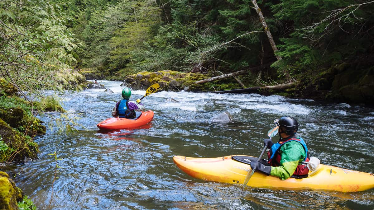
Photo courtesy of American Whitewater
Description
Take Out rapid marks the conclusion of this Mulberry Fork section, situated near the takeout point at Blountsville Road. The rapid's characteristics are not well-documented, suggesting potential unmarked hazards or variable conditions that require careful scouting and navigation by paddlers familiar with local river dynamics.
Location
Interactive river map
Loads as you approach this section.
Other Rapids on This Run (1)
View Full Run
Center Hill- Blountville Road to US Route 31
Mulberry Fork, Upper
I-II
19.8 mi
Current Conditions
5-Day Forecast
Whitewater data from
American Whitewater
American Whitewater