Take-out
NC
Take Out
Save this feature with the run it belongs to.
Gauge Conditions
Runnable: ? – ? CFS
Approximate - nearest available gauge. Use as general reference only.
Data from American Whitewater & USGS
Photo

Photo courtesy of American Whitewater
Description
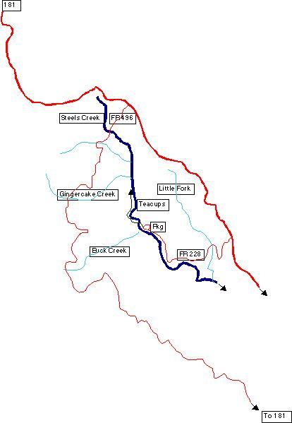
Take Out is a transition zone marking the end of the Steels Creek run, characterized by a potentially complex exit point requiring careful navigation through potential debris and rock formations. Paddlers should be prepared for potential shallow spots and potential portage requirements, especially during low water conditions, and should scout the area carefully to identify the safest route to shore.
Location
Interactive river map
Loads as you approach this section.
Other Rapids on This Run (2)

View Full Run
Confluence with Buck Creek to Confluence with Upper Creek
Steels Creek
II-III+(IV)
7.5 mi
Current Conditions
5-Day Forecast
Whitewater data from
American Whitewater
American Whitewater