Take-out
WV
Take Out
Save this feature with the run it belongs to.
Gauge Conditions
Runnable: 7.5 – 11.0 FT
Upper limit for best boatability uncertain. Please help your fellow boaters with a comment or report.
Data from American Whitewater & USGS
Photo
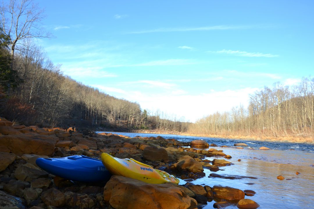
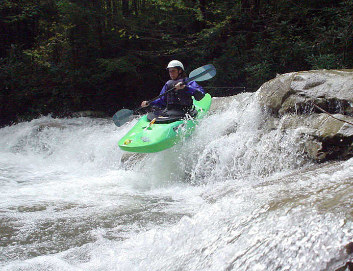
Photo courtesy of American Whitewater
Description
Take Out rapid marks the conclusion of the Roaring Creek run, characterized by a tight, technical exit where paddlers must navigate a narrow channel with potential for pinning or broaching on mid-stream rocks. The rapid requires careful boat positioning and precise maneuvering to avoid hazards, with limited margin for error as boaters transition from the creek to the Cheat River confluence.
Location
Interactive river map
Loads as you approach this section.
Other Rapids on This Run (4)
View Full Run
County Rd. 3-12 to Cheat River
Roaring Creek (Cheat River trib.)
IV
5.7 mi
Current Conditions
5-Day Forecast
Whitewater data from
American Whitewater
American Whitewater