Take-out
AL
Take Out
Save this feature with the run it belongs to.
Gauge Conditions
Runnable: ? – ? CFS
Approximate - nearest available gauge. Use as general reference only.
Data from American Whitewater & USGS
Photo
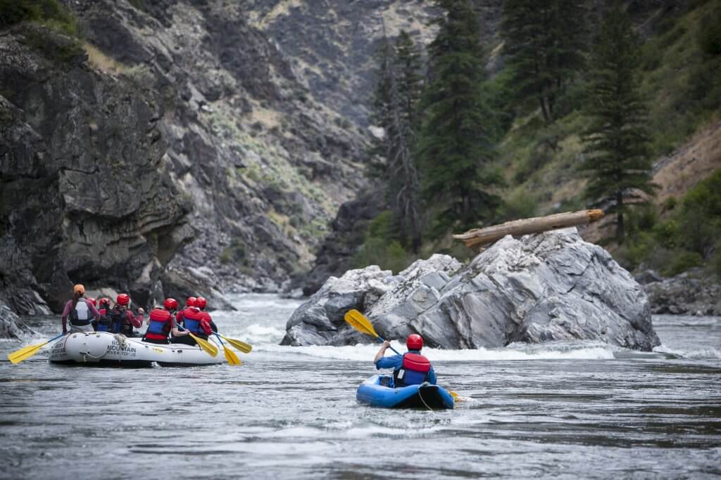
Photo courtesy of American Whitewater
Description
Take Out rapid marks the conclusion of the Honeycomb Creek run, featuring a complex series of braided channels that require precise navigation through scattered boulder fields. Paddlers must carefully choose their line to avoid potential pinning hazards and maintain momentum through the converging water flows, with the most straightforward route typically following the river's right-center channel.
Location
Interactive river map
Loads as you approach this section.
Other Rapids on This Run (1)
View Full Run
CR 593 to CR 5
Honeycomb Creek
IV-V
2.8 mi
Current Conditions
5-Day Forecast
Whitewater data from
American Whitewater
American Whitewater