Take-out
MI
Take Out
Save this feature with the run it belongs to.
Gauge Conditions
Runnable: ? – ? CFS
Approximate - nearest available gauge. Use as general reference only.
Data from American Whitewater & USGS
Photo
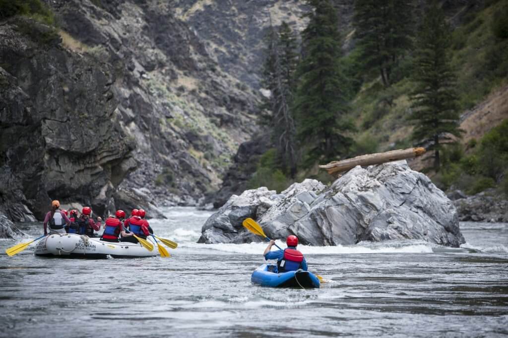
Photo courtesy of American Whitewater
Description
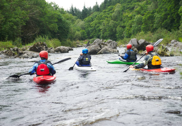
Take Out rapid on the Ocqueoc River marks the end of this scenic Michigan river run, situated near the Ocqueoc Falls Campground. While specific technical details are limited, paddlers should be prepared for potential end-of-run conditions and be aware of potential obstacles or changes in river dynamics as they approach the takeout point. Careful scouting and local river knowledge are recommended for safe navigation.
Location
Other Rapids on This Run (3)
View Full Run
CR638 to Ocqueoc Falls Campground (7 miles or PnH)
Ocqueoc
I-II(III)
7.4 mi
Current Conditions
5-Day Forecast
Whitewater data from
American Whitewater
American Whitewater