Take-out
TX
Take Out
Save this feature with the run it belongs to.
Gauge Conditions
Runnable: 3.8 – 15.0 FT
Minimum flow taken from Texas Whitewater and confirmed by paddler beta. Maximum flow estimated from paddler beta.
Data from American Whitewater & USGS
Photo
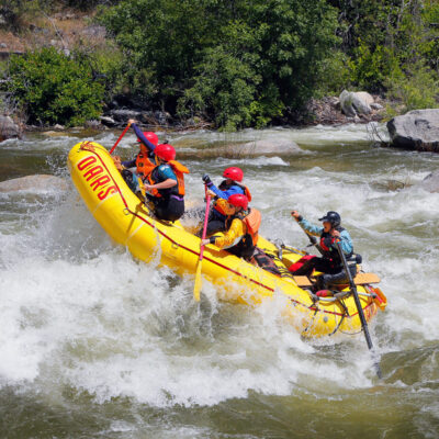
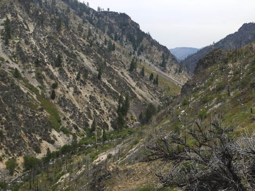
Photo courtesy of American Whitewater
Description
Take Out rapid marks the end of the Crawford section of the Middle Bosque, offering a technical finale with a tight channel between boulder clusters that demands precise boat positioning. Paddlers should be prepared for potential shallow spots and submerged rocks that can complicate the exit, particularly at lower water levels.
Location
Interactive river map
Loads as you approach this section.
View Full Run
Crawford (SH 317) to FM 3047 (7 miles)
Middle Bosque
II-III
7.0 mi
Current Conditions
5-Day Forecast
Whitewater data from
American Whitewater
American Whitewater