Take-out
CA
Take Out
Save this feature with the run it belongs to.
Gauge Conditions
Runnable: ? – ? CFS
Approximate - nearest available gauge. Use as general reference only.
Data from American Whitewater & USGS
CDEC Flow Data California
Data from California Data Exchange Center (CDEC)
Photo
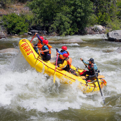
Photo courtesy of American Whitewater
Description
Take Out rapid on the Susan River in Devil's Corral presents minimal technical challenges, but requires careful navigation due to scattered rock gardens and potential shallow water conditions. Paddlers should scout the rapid carefully and be prepared to read and react to changing water levels, as the route can vary significantly depending on flow rates.
Location
Interactive river map
Loads as you approach this section.
Other Rapids on This Run (1)
View Full Run
Devil's Corral to Susanville
Susan
II-III(IV)
7.2 mi
Current Conditions
5-Day Forecast
Whitewater data from
American Whitewater
American Whitewater