Gauge Conditions
Data from American Whitewater & USGS
CDEC Flow Data California
Data from California Data Exchange Center (CDEC)
Photo
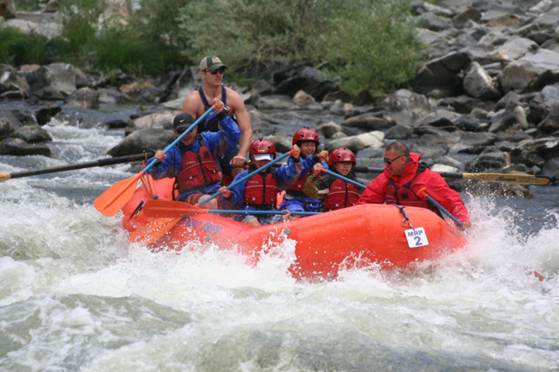
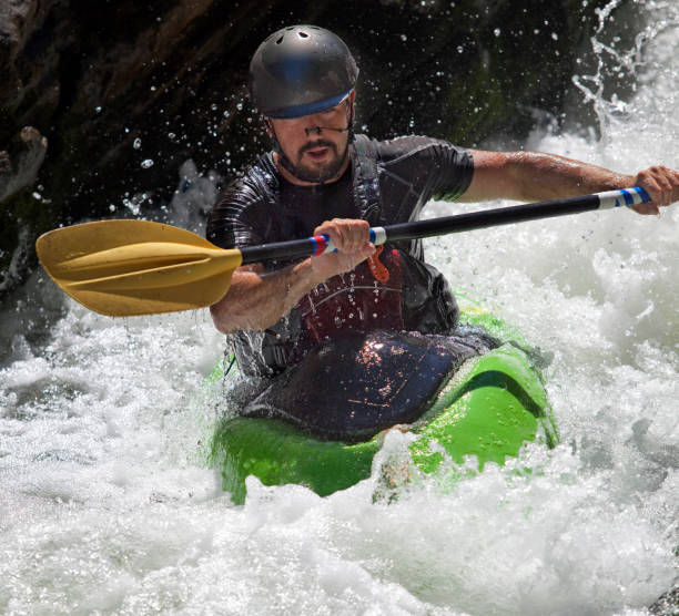
Photo courtesy of American Whitewater
Description
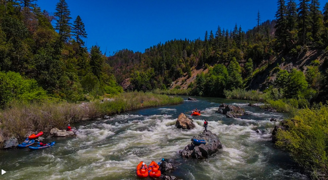
Take Out rapid marks the transition from Indian Creek to the Klamath River, featuring a complex confluence with potential for swirling currents and submerged debris. Paddlers should carefully scout the exit point, watching for potential hydraulic traps and navigating the varying water levels that can dramatically alter the rapid's character. Local knowledge is crucial due to the remote location and potential for sudden changes in flow and river conditions.
Location
Other Rapids on This Run (2)
View Full Run
E. Fork Confluence to Klamath River
Indian Creek (Klamath trib)
I-III(V)
7.9 mi
Current Conditions
5-Day Forecast
Whitewater data from
American Whitewater
American Whitewater